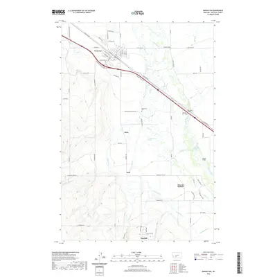
2020 Map of Manhattan
USGS Topo · Published 2020About this map
Manhattan sits at the heart of this Gallatin Valley landscape, characterized by its intricate network of agricultural irrigation and the meandering Gallatin River. The town's grid is dense with street-level detail, featuring W Main St and E Railroad Ave S, reflecting its origins as a rail and transport hub. Moving south, the terrain transitions into the high-plateau farmlands surrounding Churchill and the smaller settlements of White and Buell.
Find a feature on this map
75 named features on this map. Tap any name to fly to it.
Don’t see what you’re looking for? This feature index may not catch every label — zoom into the map to look around manually.
Map Details
Editions of this 2020 Manhattan Map
This is the sole edition of this map. No revisions or reprints were ever made.
Other maps of this area

1888 · Three Forks
USGS Topo · 1:250,000

1894 · Three Forks
USGS Topo · 1:250,000

1895 · Three Forks
USGS Topo · 1:250,000

1947 · Bozeman
USGS Topo · 1:250,000

1948 · Bozeman
USGS Topo · 1:250,000

1949 · Anceney
USGS Topo · 1:62,500

1949 · Manhattan
USGS Topo · 1:62,500

1950 · Belgrade
USGS Topo · 1:62,500

1953 · Bozeman
USGS Topo · 1:62,500

1955 · Bozeman
USGS Topo · 1:250,000