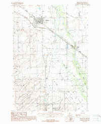
1987 Map of Manhattan
USGS Topo · Published 1988About this map
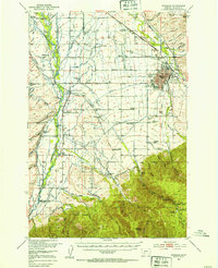
Manhattan serves as a central hub in this Gallatin County landscape, situated where the Burlington Northern railroad meets an intricate network of agricultural irrigation. The 1980s terrain is defined by a sophisticated system of water management, including the Lowline Canal, White Ditch, and Moreland Ditch, which support the surrounding farmland. To the south, the communities of Amsterdam and Church Hill are visible, while the Gallatin River winds through the eastern portion of the map near Central Park. This survey captures the transition of the local economy, where an Old Railroad Grade and several irrigation canals trace the historical path of land development. Smaller settlements like Buell and natural features such as Baker Creek and Camp Creek highlight the rural character of the region during this era of Montana's agricultural history.
Find a feature on this map
24 named features on this map. Tap any name to fly to it.
Don’t see what you’re looking for? This feature index may not catch every label — zoom into the map to look around manually.
Map Details
Editions of this 1987 Manhattan Map
This is the sole edition of this map. No revisions or reprints were ever made.
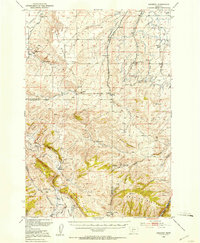
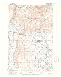
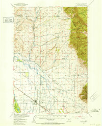
Other maps of this area

1888 · Three Forks
USGS Topo · 1:250,000

1894 · Three Forks
USGS Topo · 1:250,000

1895 · Three Forks
USGS Topo · 1:250,000

1947 · Bozeman
USGS Topo · 1:250,000

1948 · Bozeman
USGS Topo · 1:250,000
1949 · Anceney
USGS Topo · 1:62,500
1949 · Manhattan
USGS Topo · 1:62,500
1950 · Belgrade
USGS Topo · 1:62,500
1953 · Bozeman
USGS Topo · 1:62,500

1955 · Bozeman
USGS Topo · 1:250,000