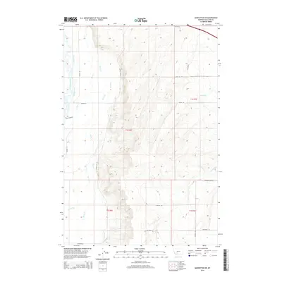
2014 Map of Manhattan SW
USGS Topo · Published 2014About this map
Madison River and its accompanying network of irrigation channels define the landscape of Gallatin County in the early 21st century. The complex water management system is visible through features like Darlington Ditch, Sloan Ditch, and Crowley Ditch, which support the agricultural heritage of the region. The map reveals a transition from the riparian environment of the river to the upland terrain bisected by Buffalo Jump Rd.
Find a feature on this map
25 named features on this map. Tap any name to fly to it.
Don’t see what you’re looking for? This feature index may not catch every label — zoom into the map to look around manually.
Map Details
Editions of this 2014 Manhattan SW Map
This is the sole edition of this map. No revisions or reprints were ever made.
Other maps of this area

1888 · Three Forks
USGS Topo · 1:250,000

1894 · Three Forks
USGS Topo · 1:250,000

1895 · Three Forks
USGS Topo · 1:250,000

1947 · Bozeman
USGS Topo · 1:250,000

1948 · Bozeman
USGS Topo · 1:250,000

1949 · Anceney
USGS Topo · 1:62,500

1949 · Manhattan
USGS Topo · 1:62,500

1949 · Norris
USGS Topo · 1:62,500

1950 · Three Forks
USGS Topo · 1:62,500

1951 · Norris
USGS Topo · 1:62,500