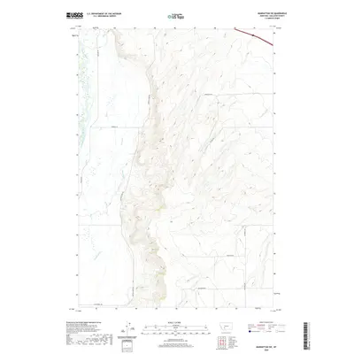
2020 Map of Manhattan SW
USGS Topo · Published 2020About this map
The Madison River dominates the western edge of this landscape, carving a wide valley floor marked by intricate irrigation engineering. Local agricultural development is defined by a network of water management features, including the Darlington Ditch, Sloan Ditch, and Crowley Ditch, which redirect water from Rey Cr and Spring Cr across the varying elevations of the Gallatin valley. The terrain transitions from the river bottom eastward into higher benchlands accessed by a grid of rural routes such as Buffalo Jump Rd and Amsterdam Rd.
Find a feature on this map
22 named features on this map. Tap any name to fly to it.
Don’t see what you’re looking for? This feature index may not catch every label — zoom into the map to look around manually.
Map Details
Editions of this 2020 Manhattan SW Map
This is the sole edition of this map. No revisions or reprints were ever made.
Other maps of this area

1888 · Three Forks
USGS Topo · 1:250,000

1894 · Three Forks
USGS Topo · 1:250,000

1895 · Three Forks
USGS Topo · 1:250,000

1947 · Bozeman
USGS Topo · 1:250,000

1948 · Bozeman
USGS Topo · 1:250,000

1949 · Anceney
USGS Topo · 1:62,500

1949 · Manhattan
USGS Topo · 1:62,500

1949 · Norris
USGS Topo · 1:62,500

1950 · Three Forks
USGS Topo · 1:62,500

1951 · Norris
USGS Topo · 1:62,500