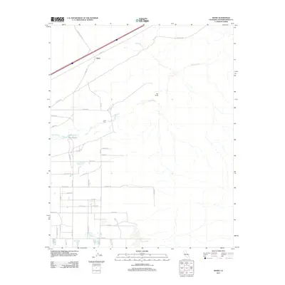
2012 Map of Manix
USGS Topo · Published 2012About this map
Mojave River ephemeral waters cut through the High Desert, defining the corridor for human activity near Manix. This 2012 snapshot of the San Bernardino County landscape shows the juxtaposition of modern transit and historical desert sites. The area around Camp Cady and the Camp Cady Ranch provides a window into the evolution of local settlements along the historic riverbed. While the northern portion of the map is dominated by the reach of Manix Wash and the distinct elevation of The Knob, the southern section reveals a developing grid of desert roads like Fort Cady Rd and Valley Center Rd. The presence of the Mojave Trl underscores the region's enduring importance as a passage through the arid terrain, connecting remote ranching interests with the broader transportation network of the Mojave Desert.
Find a feature on this map
37 named features on this map. Tap any name to fly to it.
Don’t see what you’re looking for? This feature index may not catch every label — zoom into the map to look around manually.
Map Details
Editions of this 2012 Manix Map
This is the sole edition of this map. No revisions or reprints were ever made.
Other maps of this area

1933 · Avawatz Mountains
USGS Topo · 1:250,000

1947 · Trona
USGS Topo · 1:250,000

1948 · Trona
USGS Topo · 1:250,000

1948 · Alvord Mountain
USGS Topo · 1:62,500

1948 · Cave Mountain
USGS Topo · 1:62,500

1951 · Cave Mountain
USGS Topo · 1:62,500

1951 · Alvord Mountain
USGS Topo · 1:62,500

1953 · San Bernardino
USGS Topo · 1:250,000

1953 · Trona
USGS Topo · 1:250,000

1955 · Newberry
USGS Topo · 1:62,500