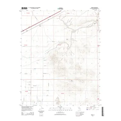
2015 Map of Manix
USGS Topo · Published 2015About this map
Manix serves as the namesake hub in this arid landscape where the Mojave River winds through the high desert. The geography is defined by geological features like the Lake Manix Basin and the Buwalda Ridge to the northeast, while the Cady Mountains rise in the southern reaches. This modern survey shows a sparse settlement pattern dictated by the environment, with several residential roads like Palma Vista Rd and Riverside Rd extending into the Mojave Valley. To the south, the ephemeral Troy Lake sits near the base of the mountains, illustrating the complex drainage patterns of the Mojave Desert. Historic travel routes are preserved in labels such as the Mojave Trl, providing context for the long-standing importance of this corridor for desert crossing.
Find a feature on this map
42 named features on this map. Tap any name to fly to it.
Don’t see what you’re looking for? This feature index may not catch every label — zoom into the map to look around manually.
Map Details
Editions of this 2015 Manix Map
This is the sole edition of this map. No revisions or reprints were ever made.
Other maps of this area

1933 · Avawatz Mountains
USGS Topo · 1:250,000

1947 · Trona
USGS Topo · 1:250,000

1948 · Trona
USGS Topo · 1:250,000

1948 · Alvord Mountain
USGS Topo · 1:62,500

1948 · Cave Mountain
USGS Topo · 1:62,500

1951 · Cave Mountain
USGS Topo · 1:62,500

1951 · Alvord Mountain
USGS Topo · 1:62,500

1953 · San Bernardino
USGS Topo · 1:250,000

1953 · Trona
USGS Topo · 1:250,000

1955 · Newberry
USGS Topo · 1:62,500