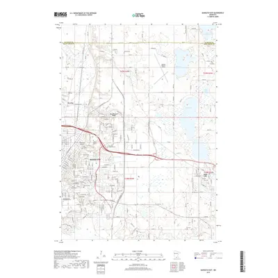
2019 Map of Mankato East
USGS Topo · Published 2019About this map
Mankato and its eastern suburbs are shown here as they appeared in 2019, revealing the dense institutional and residential expansion across the Blue Earth County landscape. The map highlights major educational hubs like Minnesota State University-Mankato and Bethany Lutheran College, alongside the industrial and commercial infrastructure of Benning and Knollwood Park. To the east, the city of Eagle Lake sits between Eagle Lake and Albert Lake, marking the transition from urban density to the lake-strewn plains of the Minnesota interior.
Find a feature on this map
126 named features on this map. Tap any name to fly to it.
Don’t see what you’re looking for? This feature index may not catch every label — zoom into the map to look around manually.
Map Details
Editions of this 2019 Mankato East Map
This is the sole edition of this map. No revisions or reprints were ever made.
Other maps of this area

1950 · Mankato East
USGS Topo · 1:62,500

1951 · Mankato East
USGS Topo · 1:62,500

1951 · Mankato West
USGS Topo · 1:62,500

1953 · Saint Paul
USGS Topo · 1:250,000

1953 · New Ulm
USGS Topo · 1:250,000

1957 · New Ulm
USGS Topo · 1:250,000

1958 · New Ulm
USGS Topo · 1:250,000

1959 · Saint Paul
USGS Topo · 1:250,000

1965 · Cleveland
USGS Topo · 1:24,000

1965 · North Star
USGS Topo · 1:24,000