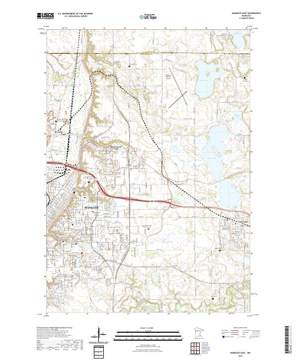
2022 Map of Mankato East
USGS Topo · Published 2022About this map
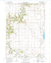
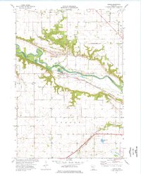
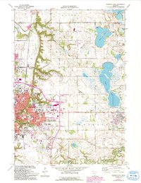
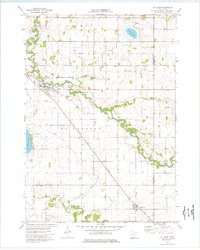
The eastern reaches of Mankato and the neighboring community of Eagle Lake dominate this 2022 survey, showcasing the urban expansion of Blue Earth County. The landscape is notably defined by its many cemeteries, including the Old Masonic Cem, Calvary Cem, and Mount Olivet Cem, providing a detailed record for genealogists tracing family history in the area. Between the residential streets of Knollwood Park and the educational grounds of Bethany Lutheran College, the map captures a significant network of water bodies, from Lake Washington and Wita Lake in the north to the Le Sueur River winding through the southern terrain. The presence of the Sakatah Singing Hills State Trl and the Mankato Regional Airport highlights the region's modern infrastructure and recreational connectivity. Local researchers will also find key civic landmarks such as the Blue Earth County Justice Center near the Thompson Ravine.
Find a feature on this map
29 named features on this map. Tap any name to fly to it.
Don’t see what you’re looking for? This feature index may not catch every label — zoom into the map to look around manually.
Map Details
Editions of this 2022 Mankato East Map
This is the sole edition of this map. No revisions or reprints were ever made.
Historical Maps of Eagle Lake Regency Through Time
21 maps found
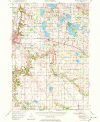
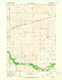
1950 Mankato East
Blue Earth County, MN

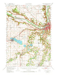
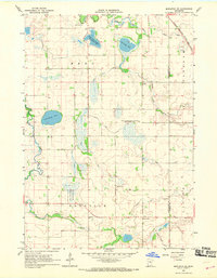
1951 Mankato East
Blue Earth County, MN
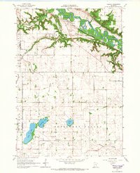
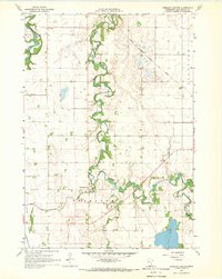
1951 Mankato West
Blue Earth County, MN
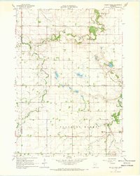
1965 Cambria
Blue Earth County, MN
1965 Perth
Blue Earth County, MN
1967 Mapleton NE
Blue Earth County, MN
1967 Sterling Center
Blue Earth County, MN
1967 Willow Creek
Blue Earth County, MN
1974 Beauford
Blue Earth County, MN
1974 Judson
Blue Earth County, MN
1974 Mankato East
Blue Earth County, MN
1974 St Clair
Blue Earth County, MN
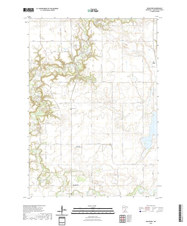
2022 Beauford
Blue Earth County, MN
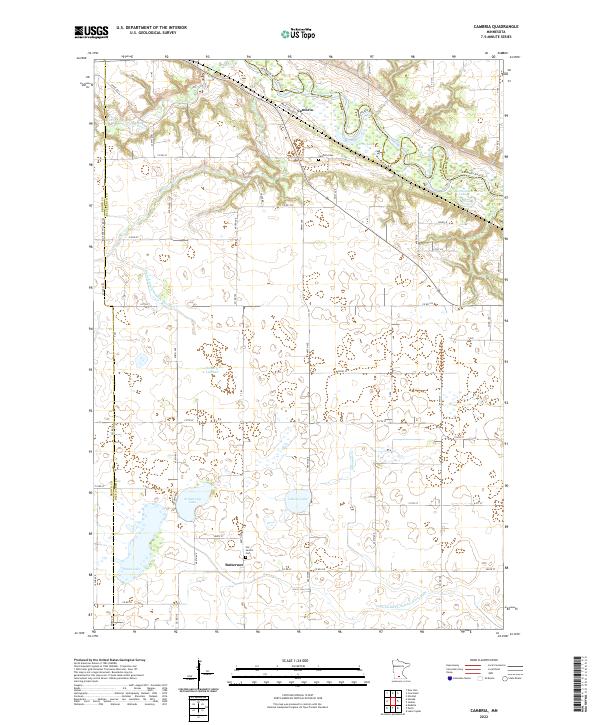
2022 Cambria
Blue Earth County, MN
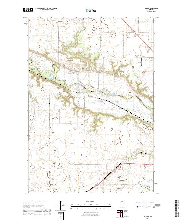
2022 Judson
Blue Earth County, MN
2022 Mankato East
Blue Earth County, MN
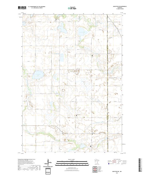
2022 Mapleton NE
Blue Earth County, MN
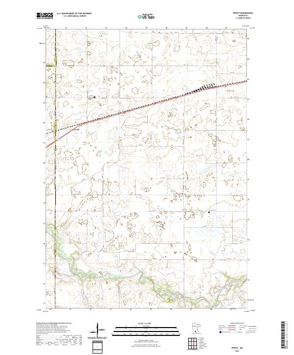
2022 Perth
Blue Earth County, MN
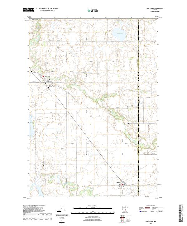
2022 Saint Clair
Blue Earth County, MN
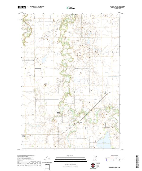
2022 Sterling Center
Blue Earth County, MN
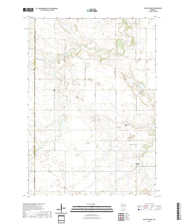
2022 Willow Creek
Blue Earth County, MN
Featured Locations
- Mankato, MN
- Eagle Lake, MN
- Benning, Mankato
- Lime Valley Mobile Home Park, Mankato
- Eagle Lake Regency, Eagle Lake