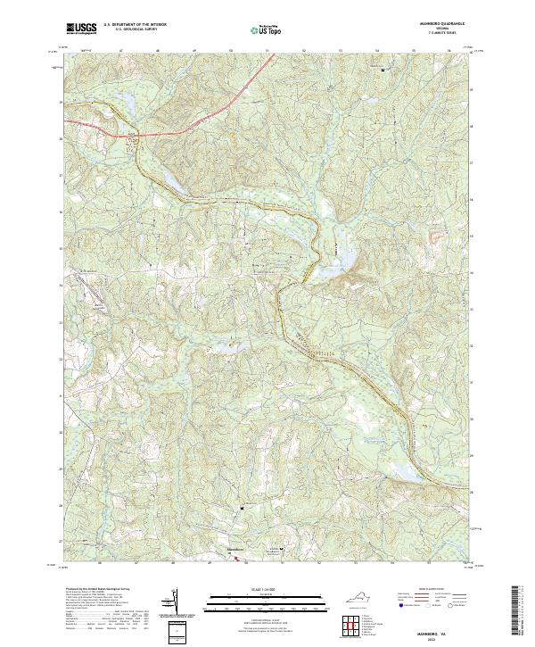
2022 Map of Mannboro
USGS Topo · Published 2022About this map
The Appomattox River winds through the heart of this Virginia landscape, marking the boundary between Amelia and Chesterfield counties. This rural area is anchored by the settlement of Mannboro in the south, where Branches Runn Baptist Church and a local Church Cem serve the community. The river's corridor is protected and utilized for recreation via the Appomattox/chesdin Linear Park Trl, which follows the northern bank near Condrey Pond.
Find a feature on this map
50 named features on this map. Tap any name to fly to it.
Don’t see what you’re looking for? This feature index may not catch every label — zoom into the map to look around manually.
Map Details
Editions of this 2022 Mannboro Map
This is the sole edition of this map. No revisions or reprints were ever made.
Other maps of this area
1897 · Amelia
USGS Topo · 1:125,000
1943 · Amelia
USGS Topo · 1:31,680
1943 · Goodes Bridge
USGS Topo · 1:31,680
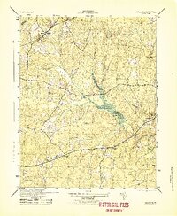
1943 · Hallsboro
USGS Topo · 1:31,680
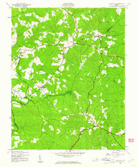
1943 · Clayville
USGS Topo · 1:24,000
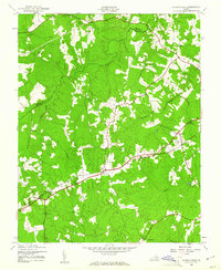
1943 · Church Road
USGS Topo · 1:24,000
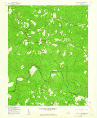
1943 · Winterpock
USGS Topo · 1:24,000
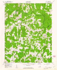
1943 · Chula
USGS Topo · 1:24,000

1943 · Richmond
USGS Topo · 1:250,000
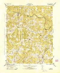
1944 · Chula
USGS Topo · 1:31,680