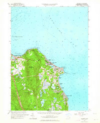
1962 Map of Manomet
USGS Topo · Published 1964About this map
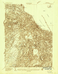
The coastal shelf of Plymouth Bay and Cape Cod Bay defines the character of this 1962 landscape, where the seafloor contours of Browns Bank meet a densely settled shoreline of summer colonies and year-round villages. Coastal development is concentrated at Priscilla Beach and White Horse Beach, with local life anchored by the Manomet Sch and the community at Manomet Heights.
Find a feature on this map
52 named features on this map. Tap any name to fly to it.
Don’t see what you’re looking for? This feature index may not catch every label — zoom into the map to look around manually.
Map Details
Editions of this 1962 Manomet Map
2 editions found
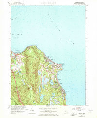
Other maps of this area

1885 · Duxbury
USGS Topo · 1:62,500

1886 · Plymouth
USGS Topo · 1:62,500

1888 · Duxbury
USGS Topo · 1:62,500

1889 · Plymouth
USGS Topo · 1:62,500

1893 · Duxbury
USGS Topo · 1:62,500

1894 · Plymouth
USGS Topo · 1:62,500

1918 · Duxbury
USGS Topo · 1:62,500
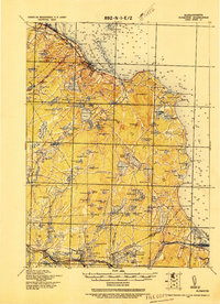
1921 · Plymouth
USGS Topo · 1:62,500
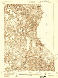
1933 · Sagamore
USGS Topo · 1:24,000
1934 · Plymouth
USGS Topo · 1:24,000
Featured Places
- Plymouth, MA
- Priscilla Beach, Plymouth
- Manomet Heights, Plymouth
- Churchill Landing, Plymouth
- Fishermans Landing, Plymouth