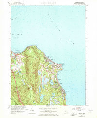
1962 Map of Manomet
USGS Topo · Published 1972About this map
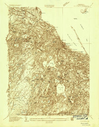
The coastal shelf of Plymouth Bay and Cape Cod Bay meets a landscape defined by glacial topography and maritime agriculture in this early 1960s survey. Extensive Cranberry Bogs are situated in the lowlands between Manomet Hill and Telegraph Hill, illustrating the enduring importance of cranberry cultivation to the local economy. Residential clusters like Manomet Heights and Manomet Bluffs line the shore, while local institutional life is anchored at the Manomet Sch and White Horse Cem.
Find a feature on this map
50 named features on this map. Tap any name to fly to it.
Don’t see what you’re looking for? This feature index may not catch every label — zoom into the map to look around manually.
Map Details
Editions of this 1962 Manomet Map
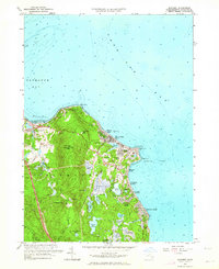
2 editions found
Other maps of this area

1885 · Duxbury
USGS Topo · 1:62,500

1886 · Plymouth
USGS Topo · 1:62,500

1888 · Duxbury
USGS Topo · 1:62,500

1889 · Plymouth
USGS Topo · 1:62,500

1893 · Duxbury
USGS Topo · 1:62,500

1894 · Plymouth
USGS Topo · 1:62,500

1918 · Duxbury
USGS Topo · 1:62,500
1921 · Plymouth
USGS Topo · 1:62,500
1933 · Sagamore
USGS Topo · 1:24,000
1934 · Plymouth
USGS Topo · 1:24,000
Featured Places
- Plymouth, MA
- Priscilla Beach, Plymouth
- Manomet Heights, Plymouth
- Churchill Landing, Plymouth
- Fishermans Landing, Plymouth