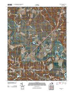
2010 Map of Manquin
USGS Topo · Published 2010About this map
The Pamunkey River winds through this Tidewater landscape, defining a region where river landings and old crossroads settlements remain central to the geography. Historical river commerce is evidenced by Pampatike Landing and the intricate river features such as The Island, Bassett Bar, and the sharp bend at Horseshoe. The area is dotted with small communities and named intersections that have served as local hubs for generations, including Enfield, Manquin, and the storied Hanovertown.
Find a feature on this map
83 named features on this map. Tap any name to fly to it.
Don’t see what you’re looking for? This feature index may not catch every label — zoom into the map to look around manually.
Map Details
Editions of this 2010 Manquin Map
This is the sole edition of this map. No revisions or reprints were ever made.
Other maps of this area

1894 · Richmond
USGS Topo · 1:62,500

1895 · Richmond
USGS Topo · 1:62,500

1918 · Doswell
USGS Topo · 1:62,500

1918 · Aylett
USGS Topo · 1:62,500

1920 · King William
USGS Topo · 1:62,500

1933 · Aylett
USGS Topo · 1:62,500

1934 · Seven Pines
USGS Topo · 1:24,000

1938 · Seven Pines
USGS Topo · 1:31,680

1938 · Studley
USGS Topo · 1:31,680

1943 · Richmond
USGS Topo · 1:250,000