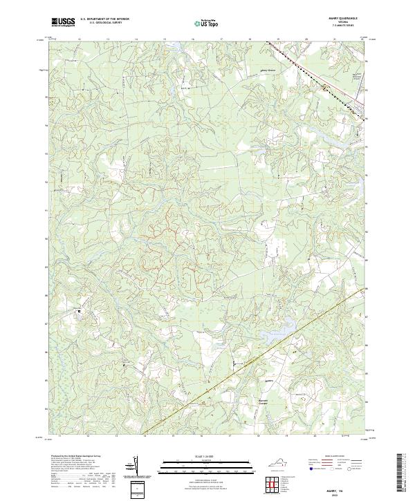
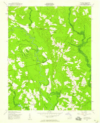
2022 Map of Manry
USGS Topo · Published 2022About this map
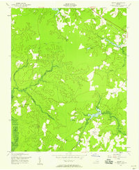
Manry and Barrett Corner anchor the southern reaches of this Sussex County landscape, situated where the terrain transitions into a complex network of wetlands and drainage basins. The area is defined by its extensive swamp systems, including the Assamoosick Swamp, Seacorrie Swamp, and German Swamp, which illustrate the low-lying, water-dominant geography of the Virginia coastal plain. These natural features dictated early settlement patterns, leaving a legacy of small rural communities and family landmarks.
Find a feature on this map
61 named features on this map. Tap any name to fly to it.
Don’t see what you’re looking for? This feature index may not catch every label — zoom into the map to look around manually.
Map Details
Editions of this 2022 Manry Map
This is the sole edition of this map. No revisions or reprints were ever made.
Historical Maps of Manry Through Time
17 maps found

1919 Homeville
Sussex County, VA
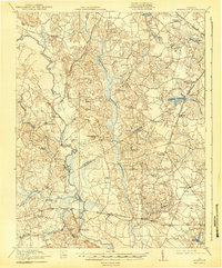
1920 Homeville
Sussex County, VA
1943 Littleton
Sussex County, VA
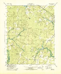
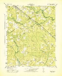
1943 Manry
Sussex County, VA
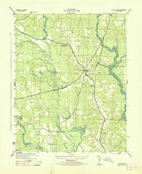
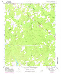
1944 Nebletts Mill
Sussex County, VA
1947 Nebletts Mills
Sussex County, VA
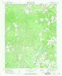
1956 Disputanta South
Sussex County, VA
1956 Littleton
Sussex County, VA
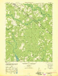
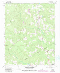
1956 Manry
Sussex County, VA
1966 Yale
Sussex County, VA
1968 Disputanta South
Sussex County, VA
1968 Littleton
Sussex County, VA
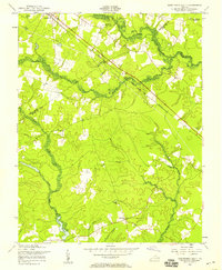
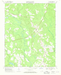
1969 Manry
Sussex County, VA
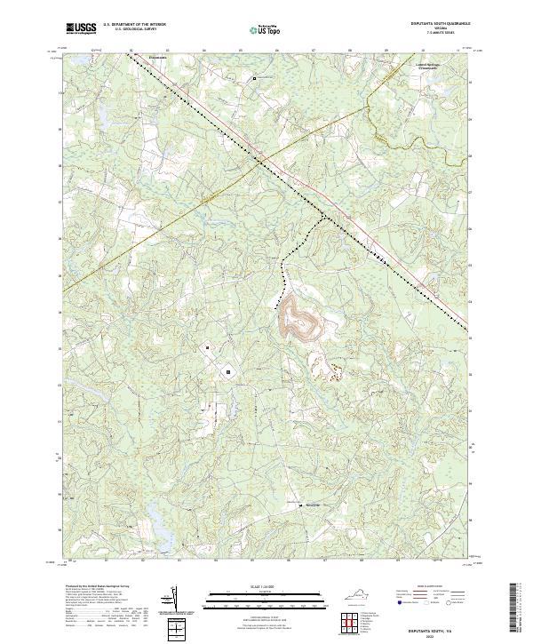
2022 Disputanta South
Sussex County, VA
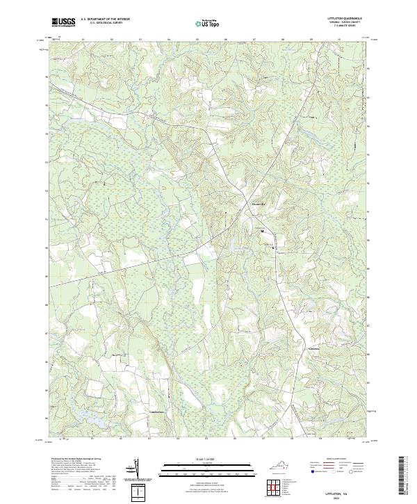
2022 Littleton
Sussex County, VA
2022 Manry
Sussex County, VA
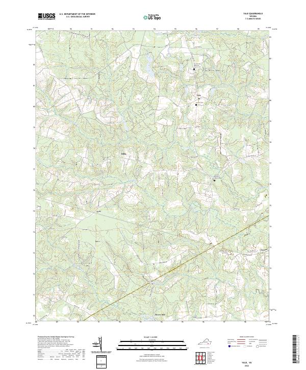
2022 Yale
Sussex County, VA