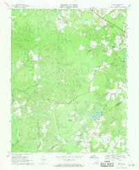
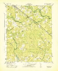
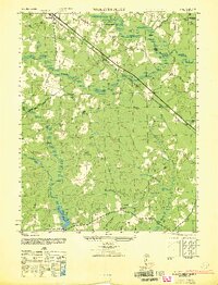
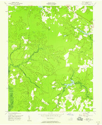
1969 Map of Manry
USGS Topo · Published 1971This historical map portrays the area of Manry in 1969, primarily covering Sussex County as well as portions of Southampton County. Featuring a scale of 1:24000, this map provides a highly detailed snapshot of the terrain, roads, buildings, counties, and historical landmarks in the Manry region at the time. Published in 1971, it is the sole known edition of this map.
Find a feature on this map
32 named features on this map. Tap any name to fly to it.
Don’t see what you’re looking for? This feature index may not catch every label — zoom into the map to look around manually.
Map Details
Editions of this 1969 Manry Map
This is the sole edition of this map. No revisions or reprints were ever made.
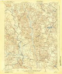
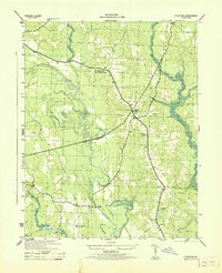
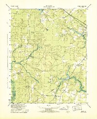
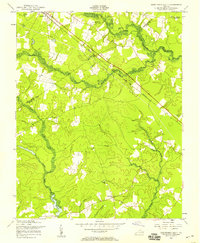
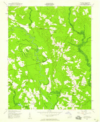
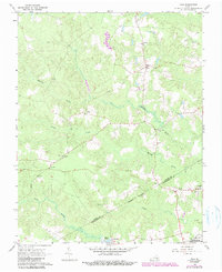
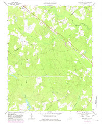
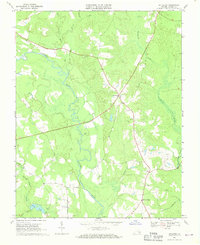
Historical Maps of Piney Grove Through Time
13 maps found

1919 Homeville
Sussex County, VA
1920 Homeville
Sussex County, VA
1943 Littleton
Sussex County, VA
1943 Manry
Sussex County, VA
1944 Nebletts Mill
Sussex County, VA
1947 Nebletts Mills
Sussex County, VA
1956 Disputanta South
Sussex County, VA
1956 Littleton
Sussex County, VA
1956 Manry
Sussex County, VA
1966 Yale
Sussex County, VA
1968 Disputanta South
Sussex County, VA
1968 Littleton
Sussex County, VA
1969 Manry
Sussex County, VA