2022 Map of Mansfield
USGS Topo · Published 2022About this map
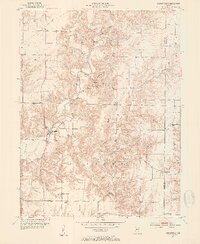
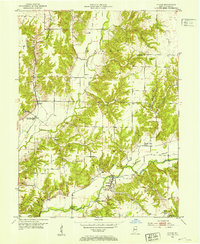
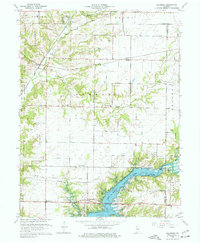
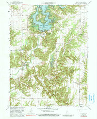
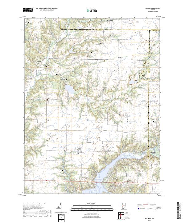
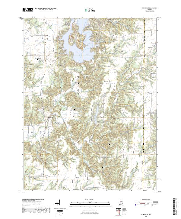
Big Raccoon Creek and its many tributaries carve through the rolling landscape of eastern Parke County and western Putnam County. This survey highlights the village of Mansfield and the neighboring community of Pleasant Valley, where the road network follows the winding course of the creek. To the north, the massive Cecil M Harden Lake dominates the terrain, surrounded by a dense network of recreational trails such as Trail 1 Trl and Trail 4 Trl. Local history is well-preserved through numerous family and community burial sites, including Blake Cem, Roach Cem, and Martin Cem. The eastern portion of the map transition into Putnam County near Vivalia and Keytsville, revealing a rural landscape defined by small settlements and water features like Groundhog Falls and Little Rocky Fork Cr.
Find a feature on this map
107 named features on this map. Tap any name to fly to it.
Don’t see what you’re looking for? This feature index may not catch every label — zoom into the map to look around manually.
Map Details
Editions of this 2022 Mansfield Map
This is the sole edition of this map. No revisions or reprints were ever made.
Historical Maps of Parke County Through Time
8 maps found