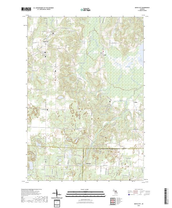
2023 Map of Maple City
USGS Topo · Published 2023About this map
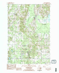
Maple City and the surrounding township lands are defined by a complex wetland system and a series of small, interior lakes. The landscape is dominated by the Cedar Swamp and Solon Swamp, which filter into Victoria Creek and Clearbrook Creek before reaching Lake Leelanau on the eastern edge. This modern survey illustrates the persistent rural character of Leelanau County, where small unincorporated communities like Cedar and Solon are connected by a network of county roads.
Find a feature on this map
122 named features on this map. Tap any name to fly to it.
Don’t see what you’re looking for? This feature index may not catch every label — zoom into the map to look around manually.
Map Details
Editions of this 2023 Maple City Map
This is the sole edition of this map. No revisions or reprints were ever made.
Other maps of this area

1954 · Traverse City
USGS Topo · 1:250,000
1956 · Kingsley
USGS Topo · 1:62,500
1956 · Thompsonville
USGS Topo · 1:62,500
1957 · Traverse City
USGS Topo · 1:62,500
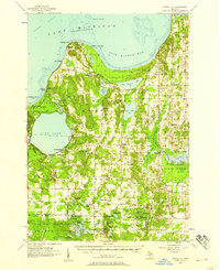
1957 · Maple City
USGS Topo · 1:62,500

1958 · Traverse City
USGS Topo · 1:250,000
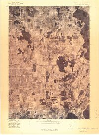
1976 · Thompsonville NE
USGS Topo · 1:24,000
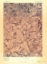
1976 · Thompsonville NW
USGS Topo · 1:24,000
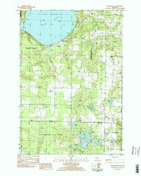
1983 · Burdickville
USGS Topo · 1:24,000
1983 · Maple City
USGS Topo · 1:24,000