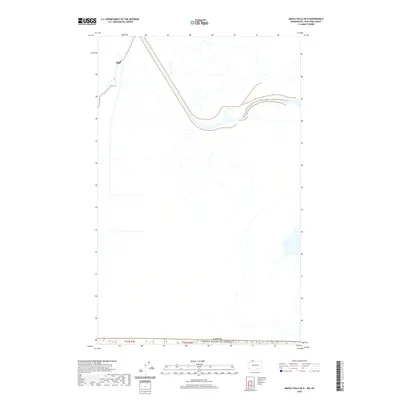
2020 Map of Maple Falls OE N
USGS Topo · Published 2020About this map
The international boundary between the Canada and the United States of America defines this high-latitude terrain within T41n R5e and T41n R6e. Mapping of this border zone reflects the modern surveying techniques of the early twenty-first century, showing the drainage patterns and land divisions that span the frontier in Whatcom County. While the landscape is sparsely labeled, the map precisely documents the intersection of public land survey sections with the national border, a vital reference for understanding land ownership and jurisdictional limits in this northern corridor.
Find a feature on this map
3 named features on this map. Tap any name to fly to it.
Don’t see what you’re looking for? This feature index may not catch every label — zoom into the map to look around manually.
Map Details
Editions of this 2020 Maple Falls OE N Map
This is the sole edition of this map. No revisions or reprints were ever made.
Other maps of this area

1909 · Mt Baker
USGS Topo · 1:192,000

1915 · Mt. Baker
USGS Topo · 1:250,000

1919 · Van Zandt
USGS Topo · 1:62,500

1951 · Van Zandt
USGS Topo · 1:62,500

1952 · Mt. Baker
USGS Topo · 1:62,500

1955 · Concrete
USGS Topo · 1:250,000

1957 · Victoria
USGS Topo · 1:250,000

1958 · Concrete
USGS Topo · 1:250,000

1962 · Concrete
USGS Topo · 1:250,000

1972 · Maple Falls
USGS Topo · 1:24,000