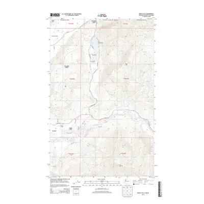
2014 Map of Maple Falls
USGS Topo · Published 2014About this map
Maple Falls and the surrounding river bottomlands near the North Fork Nooksack River define this corner of Whatcom County. The landscape is characterized by a sharp transition from the broad alluvial valley to the steep slopes of Black Mtn and Slide Mtn. This 2014 survey captures the community of Kendall and the Kendall Airstrip, alongside the recreational corridor extending north to Silver Lake. Detailed mapping shows the Black Mountain Boy Scout Camp and various facilities at Silver Lake Park Campground, including the Silver Lake Park Boat Launch.
Find a feature on this map
40 named features on this map. Tap any name to fly to it.
Don’t see what you’re looking for? This feature index may not catch every label — zoom into the map to look around manually.
Map Details
Editions of this 2014 Maple Falls Map
This is the sole edition of this map. No revisions or reprints were ever made.
Other maps of this area

1909 · Mt Baker
USGS Topo · 1:192,000

1915 · Mt. Baker
USGS Topo · 1:250,000

1919 · Van Zandt
USGS Topo · 1:62,500

1951 · Van Zandt
USGS Topo · 1:62,500

1952 · Mt. Baker
USGS Topo · 1:62,500

1955 · Concrete
USGS Topo · 1:250,000

1957 · Victoria
USGS Topo · 1:250,000

1958 · Concrete
USGS Topo · 1:250,000

1962 · Concrete
USGS Topo · 1:250,000

1972 · Maple Falls
USGS Topo · 1:24,000