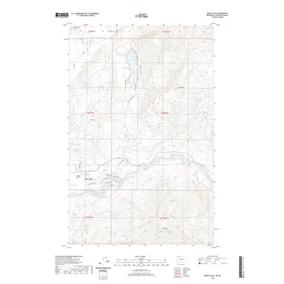
2020 Map of Maple Falls
USGS Topo · Published 2020About this map
Maple Falls occupies a central valley in Whatcom County, situated where the North Fork Nooksack River meets its mountain-fed tributaries. This modern survey illustrates a landscape where small-scale aviation at Kendall Airstrip and recreational spaces like Silver Lake Park coexist with a complex network of forest and residential roads. The terrain is dominated by significant peaks, including Black Mtn and Red Mtn, which frame the deep-cut drainage of Maple Cr.
Find a feature on this map
39 named features on this map. Tap any name to fly to it.
Don’t see what you’re looking for? This feature index may not catch every label — zoom into the map to look around manually.
Map Details
Editions of this 2020 Maple Falls Map
This is the sole edition of this map. No revisions or reprints were ever made.
Other maps of this area

1909 · Mt Baker
USGS Topo · 1:192,000

1915 · Mt. Baker
USGS Topo · 1:250,000

1919 · Van Zandt
USGS Topo · 1:62,500

1951 · Van Zandt
USGS Topo · 1:62,500

1952 · Mt. Baker
USGS Topo · 1:62,500

1955 · Concrete
USGS Topo · 1:250,000

1957 · Victoria
USGS Topo · 1:250,000

1958 · Concrete
USGS Topo · 1:250,000

1962 · Concrete
USGS Topo · 1:250,000

1972 · Maple Falls
USGS Topo · 1:24,000