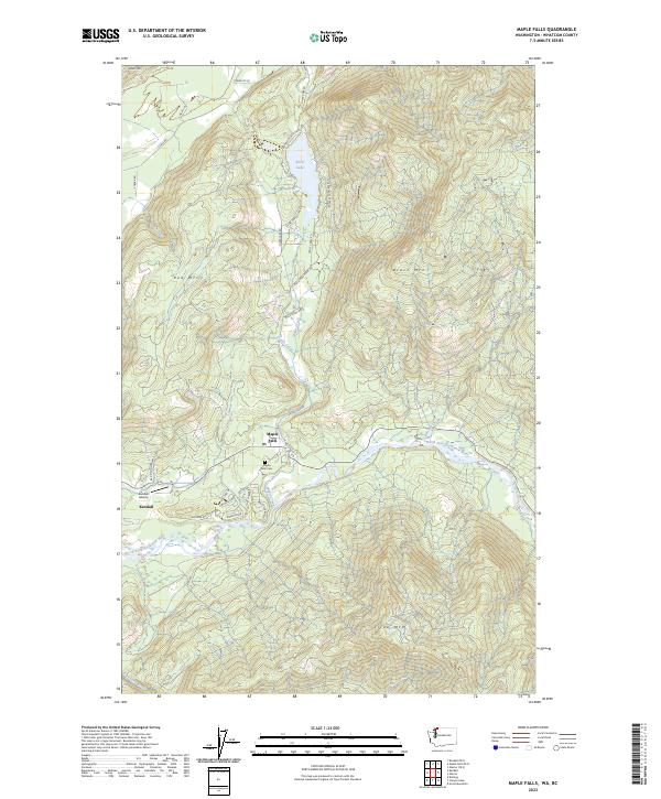
2023 Map of Maple Falls
USGS Topo · Published 2023About this map
The North Fork Nooksack River carves a deep valley through the high peaks of Whatcom County, anchoring the settlements of Maple Falls and Kendall. This modern survey documents the contemporary mountain landscape, where the Kendall Airstrip and the Maple Falls Cem sit near the river's bend. The terrain is defined by massive rises like Black Mountain and Red Mtn, with Silver Lake tucked into the northern highlands alongside Silver Lake Co Park. Numerous tributaries, including Frost Creek, Doaks Creek, and Maple Creek, drain the steep slopes of the Cascade foothills. The road network, featuring names like Goldrush Rd and Wilderness Way, hints at the area's ongoing relationship with its wilder surroundings and its history of resource access.
Find a feature on this map
42 named features on this map. Tap any name to fly to it.
Don’t see what you’re looking for? This feature index may not catch every label — zoom into the map to look around manually.
Map Details
Editions of this 2023 Maple Falls Map
This is the sole edition of this map. No revisions or reprints were ever made.
Other maps of this area

1909 · Mt Baker
USGS Topo · 1:192,000

1915 · Mt. Baker
USGS Topo · 1:250,000

1919 · Van Zandt
USGS Topo · 1:62,500

1951 · Van Zandt
USGS Topo · 1:62,500

1952 · Mt. Baker
USGS Topo · 1:62,500

1955 · Concrete
USGS Topo · 1:250,000

1957 · Victoria
USGS Topo · 1:250,000

1958 · Concrete
USGS Topo · 1:250,000

1962 · Concrete
USGS Topo · 1:250,000

1972 · Maple Falls
USGS Topo · 1:24,000