
1963 Map of Marathon
USGS Topo · Published 1964About this map
Marathon (Marathon City) and Edgar serve as the primary hubs of activity in this 1963 survey of Marathon County. The landscape is defined by the winding course of the Rib River and the expansive waters of the Big Eau Pleine Reservoir to the south. The Chicago and North Western railroad cuts across the terrain, linking the smaller dairy and agricultural communities like Poniatowski and Rib Falls.
Find a feature on this map
48 named features on this map. Tap any name to fly to it.
Don’t see what you’re looking for? This feature index may not catch every label — zoom into the map to look around manually.
Map Details
Editions of this 1963 Marathon Map
This is the sole edition of this map. No revisions or reprints were ever made.
Historical Maps of Wausau Through Time
54 maps found

1902 Marathon
Marathon County, WI

1951 Doering
Marathon County, WI

1953 Marathon
Marathon County, WI
1963 Marathon
Marathon County, WI

1963 Wausau East
Marathon County, WI

1963 Wausau West
Marathon County, WI

1969 Rosholt NW
Marathon County, WI

1970 Big Eau Pleine Reservoir
Marathon County, WI

1970 Dancy
Marathon County, WI

1970 Dewey Marsh
Marathon County, WI

1970 Honey Island
Marathon County, WI

1973 Hogarty
Marathon County, WI

1973 Kalinke
Marathon County, WI

1978 Hamburg
Marathon County, WI

1978 Little Chicago
Marathon County, WI

1980 Corinth
Marathon County, WI

1981 Halder
Marathon County, WI

1981 Little Rose
Marathon County, WI

1981 Marathon
Marathon County, WI

1981 Marathon SW
Marathon County, WI

1981 Milan
Marathon County, WI

1982 Bevent
Marathon County, WI

1982 Brokaw
Marathon County, WI

1982 Mission Lake
Marathon County, WI

1982 Nutterville
Marathon County, WI

1982 Peplin
Marathon County, WI

1982 Ringle
Marathon County, WI

1982 Wien
Marathon County, WI

1993 Wausau East
Marathon County, WI

1993 Wausau West
Marathon County, WI

2022 Bevent
Marathon County, WI

2022 Big Eau Pleine Reservoir
Marathon County, WI

2022 Brokaw
Marathon County, WI

2022 Corinth
Marathon County, WI

2022 Dancy
Marathon County, WI

2022 Dewey Marsh
Marathon County, WI

2022 Halder
Marathon County, WI

2022 Hamburg
Marathon County, WI

2022 Hogarty
Marathon County, WI

2022 Honey Island
Marathon County, WI

2022 Kalinke
Marathon County, WI

2022 Little Chicago
Marathon County, WI

2022 Little Rose
Marathon County, WI

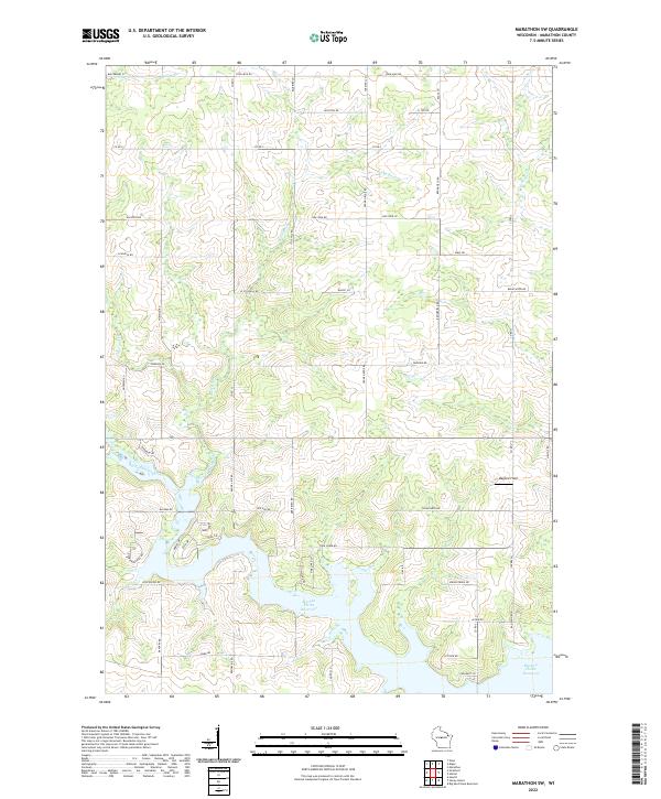
2022 Marathon
Marathon County, WI
2022 Marathon SW
Marathon County, WI

2022 Milan
Marathon County, WI

2022 Mission Lake
Marathon County, WI

2022 Nutterville
Marathon County, WI

2022 Peplin
Marathon County, WI
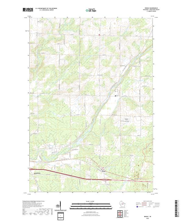
2022 Ringle
Marathon County, WI

2022 Rosholt NW
Marathon County, WI

2022 Wausau East
Marathon County, WI

2022 Wausau West
Marathon County, WI

2022 Wien
Marathon County, WI