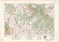
1959 Map of Marble Canyon
USGS Topo · Published 1959About this map
The Colorado River carves a deep path through northern Arizona in the late 1950s, serving as a boundary for the Navajo Indian Reservation and the Kaibab National Forest. This era shows a landscape where remote outposts like the Chilchinbito Trading Post and Cow Springs Trading Post supported local commerce across the Painted Desert. Infrastructure of the mid-century is evident in the presence of a Uranium Mill near Tuba City, reflecting the strategic industrial interests of the Cold War period.
Find a feature on this map
110 named features on this map. Tap any name to fly to it.
Don’t see what you’re looking for? This feature index may not catch every label — zoom into the map to look around manually.
Map Details
Editions of this 1959 Marble Canyon Map
This is the sole edition of this map. No revisions or reprints were ever made.
Other maps of this area
1883 · Marsh Pass
USGS Topo · 1:250,000
1883 · Tusayan
USGS Topo · 1:250,000
1886 · Kanab
USGS Topo · 1:250,000
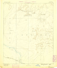
1886 · Tusayan
USGS Topo · 1:250,000
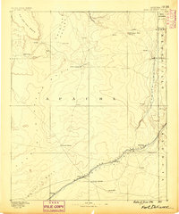
1886 · Fort Defiance
USGS Topo · 1:250,000
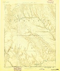
1886 · Escalante
USGS Topo · 1:250,000
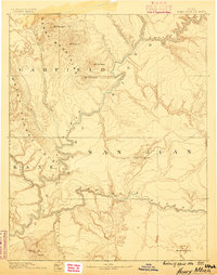
1886 · Henry Mountains
USGS Topo · 1:250,000
1886 · San Francisco Mtns
USGS Topo · 1:250,000
1886 · Abajo
USGS Topo · 1:250,000
1886 · Chino
USGS Topo · 1:250,000