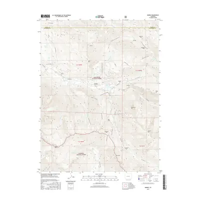
2016 Map of Marble
USGS Topo · Published 2016About this map
The town of Marble sits at the heart of this survey, positioned along the banks of the Crystal River where the industrial and natural worlds meet. This high-altitude landscape is dominated by the resource extraction that built the local economy, most notably at the Yule Quarry and the Skyline Mine located on the slopes above the valley. A complex network of trails, such as the Anthracite Pass Trail and the Raspberry Creek Trail, connects the settlement to high-mountain basins and passes that define the boundary between the White River National Forest and Gunnison National Forest. Genealogists and local historians can locate the Marble Cem west of the main settlement. The geography is marked by dramatic peaks like Mt Daly and Treasure Mtn, with numerous high-country water bodies including Beaver Lake and Island Lake scattered through the steep terrain.
Find a feature on this map
54 named features on this map. Tap any name to fly to it.
Don’t see what you’re looking for? This feature index may not catch every label — zoom into the map to look around manually.
Map Details
Editions of this 2016 Marble Map
This is the sole edition of this map. No revisions or reprints were ever made.
Other maps of this area

1888 · Anthracite
USGS Topo · 1:62,500

1889 · Anthracite
USGS Topo · 1:62,500

1893 · Anthracite
USGS Topo · 1:62,500

1894 · Anthracite
USGS Topo · 1:62,500

1938 · Mt. Gunnison
USGS Topo · 1:48,000

1945 · Mount Gunnison
USGS Topo · 1:62,500

1956 · Montrose
USGS Topo · 1:250,000

1957 · Leadville
USGS Topo · 1:250,000

1959 · Leadville
USGS Topo · 1:250,000

1959 · Montrose
USGS Topo · 1:250,000