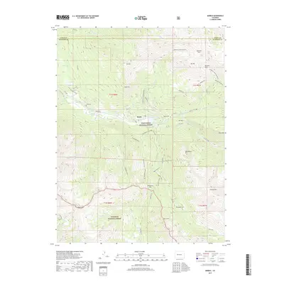
2019 Map of Marble
USGS Topo · Published 2019About this map
The mountain town of Marble sits at the heart of this high-altitude landscape, situated along the Crystal River where it meets Carbonate Cr. This area is defined by its industrial and recreational legacy, featuring the famous Yule Quarry and the Skyline Mine which carved into the surrounding peaks. The topography is dominated by massive summits such as Mt Daly, Mt Justice, and Whitehouse Mtn, with the town serving as a gateway to the White River National Forest and Gunnison National Forest.
Find a feature on this map
47 named features on this map. Tap any name to fly to it.
Don’t see what you’re looking for? This feature index may not catch every label — zoom into the map to look around manually.
Map Details
Editions of this 2019 Marble Map
This is the sole edition of this map. No revisions or reprints were ever made.
Other maps of this area

1888 · Anthracite
USGS Topo · 1:62,500

1889 · Anthracite
USGS Topo · 1:62,500

1893 · Anthracite
USGS Topo · 1:62,500

1894 · Anthracite
USGS Topo · 1:62,500

1938 · Mt. Gunnison
USGS Topo · 1:48,000

1945 · Mount Gunnison
USGS Topo · 1:62,500

1956 · Montrose
USGS Topo · 1:250,000

1957 · Leadville
USGS Topo · 1:250,000

1959 · Leadville
USGS Topo · 1:250,000

1959 · Montrose
USGS Topo · 1:250,000