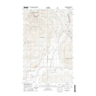
2014 Map of Marblemount
USGS Topo · Published 2014About this map
The confluence of the Skagit River and the Cascade River serves as the central hub of this Skagit County landscape. The settlement of Marblemount sits at this junction, surrounded by protected wilderness areas including North Cascades National Park, Mount Baker National Forest, and the Ross Lake National Recreation Area. These public lands encompass significant topographical features such as Diobsud Buttes and the high elevation Bacon Point, where the Bacon Point Lookout is situated.
Find a feature on this map
43 named features on this map. Tap any name to fly to it.
Don’t see what you’re looking for? This feature index may not catch every label — zoom into the map to look around manually.
Map Details
Editions of this 2014 Marblemount Map
This is the sole edition of this map. No revisions or reprints were ever made.
Other maps of this area

1899 · Glacier Peak
USGS Topo · 1:125,000

1899 · Stillaguamish
USGS Topo · 1:125,000

1901 · Glacier Peak
USGS Topo · 1:125,000

1901 · Stilaguamish
USGS Topo · 1:125,000

1909 · Mt Baker
USGS Topo · 1:192,000

1915 · Mt. Baker
USGS Topo · 1:250,000

1952 · Lake Shannon
USGS Topo · 1:62,500

1953 · Marblemount
USGS Topo · 1:62,500

1955 · Concrete
USGS Topo · 1:250,000

1958 · Concrete
USGS Topo · 1:250,000