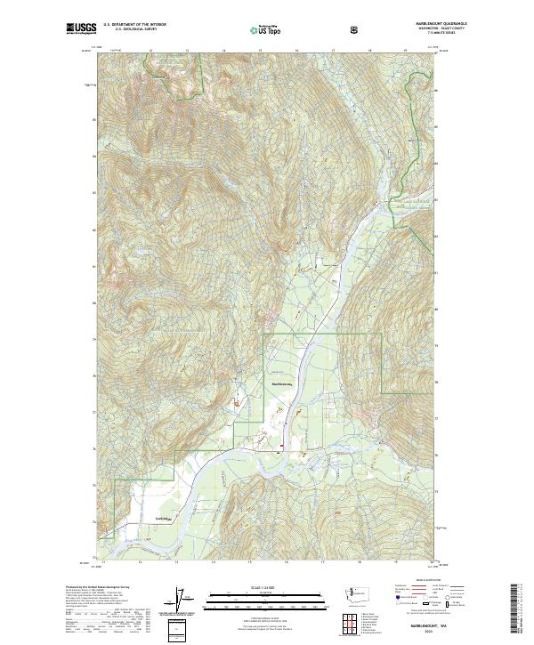
2023 Map of Marblemount
USGS Topo · Published 2023About this map
The confluence of the Skagit River and the Cascade River anchors the settlement of Marblemount, a gateway to the high wilderness of the North Cascades. This 2023 survey delineates the complex jurisdictional boundaries of the North Cascades National Park Stephen Mather Wilderness, the Noisy-Diobsud Wilderness, and the Ross Lake National Recreation Area. These protected lands surround the river valley, where roads like Cascade River Rd and Rockport Cascade Rd provide access to the foothills. To the south, the community of Corkindale sits along the riverbank near the mouth of Corkindale Creek. The landscape is defined by steep elevation changes, rising from the river floor toward Diobsud Buttes and the high ridge of Cow Heaven. The designation of the Skagit Wild and Scenic River highlights the corridor's ecological importance, while smaller water bodies like Olson Lake and Bacon Creek mark the drainage patterns of the Mount Baker National Forest.
Find a feature on this map
36 named features on this map. Tap any name to fly to it.
Don’t see what you’re looking for? This feature index may not catch every label — zoom into the map to look around manually.
Map Details
Editions of this 2023 Marblemount Map
This is the sole edition of this map. No revisions or reprints were ever made.
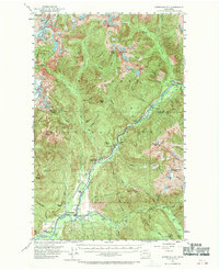
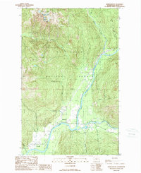
Historical Maps of Portage Through Time
3 maps found