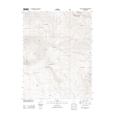
2013 Map of Marcellina Mountain
USGS Topo · Published 2013About this map
Marcellina Mountain and the Ruby Range dominate this high-elevation landscape within the White River National Forest and Gunnison National Forest. This 2013 survey illustrates an area primarily defined by drainage systems and steep topography, with waterways such as Ruby Anthracite Cr and N Anthracite Cr carving through the terrain. The presence of West Side Cow Camp reflects the continued seasonal agricultural use of these high basins, while landforms like the Devils Stairway and Lightning Ridge indicate the dramatic verticality of the region.
Find a feature on this map
45 named features on this map. Tap any name to fly to it.
Don’t see what you’re looking for? This feature index may not catch every label — zoom into the map to look around manually.
Map Details
Editions of this 2013 Marcellina Mountain Map
This is the sole edition of this map. No revisions or reprints were ever made.
Other maps of this area

1888 · Anthracite
USGS Topo · 1:62,500

1889 · Anthracite
USGS Topo · 1:62,500

1893 · Anthracite
USGS Topo · 1:62,500

1894 · Anthracite
USGS Topo · 1:62,500

1938 · Mt. Gunnison
USGS Topo · 1:48,000

1945 · Mount Gunnison
USGS Topo · 1:62,500

1956 · Montrose
USGS Topo · 1:250,000

1957 · Leadville
USGS Topo · 1:250,000

1959 · Leadville
USGS Topo · 1:250,000

1959 · Montrose
USGS Topo · 1:250,000