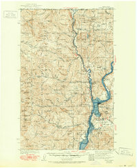
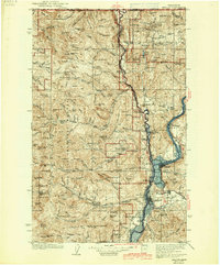
1942 Map of Marcus
USGS Topo · Published 1951About this map
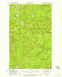
Kettle River flows south from the United States Canada boundary line, winding through a landscape of deep valleys and mineral-rich peaks before joining the Columbia River. This era of the upper Columbia reflects a corridor of extraction and early settlement, where the Great Northern railroad tracks parallel the river's path, connecting small timber and mining outposts like Laurier, Rock Cut, and Orient. The presence of the Old Catholic Mission near the junction of the two major rivers points to the area's long-standing cultural significance, while the numerous upland mining sites, including the Big Iron Mine and First Thought Mine, indicate the industrial focus of the 1930s. Higher elevations within the Colville National Forest are punctuated by lookouts like Churchill Lookout, which monitored the vast timber stands that defined the local economy during this period of development.
Find a feature on this map
140 named features on this map. Tap any name to fly to it.
Don’t see what you’re looking for? This feature index may not catch every label — zoom into the map to look around manually.
Map Details
Editions of this 1942 Marcus Map
3 editions found
Other maps of this area

1904 · Republic
USGS Topo · 1:125,000

1927 · Chewelah
USGS Topo · 1:125,000

1929 · Colville
USGS Topo · 1:125,000

1930 · Chewelah
USGS Topo · 1:125,000

1933 · Colville
USGS Topo · 1:125,000

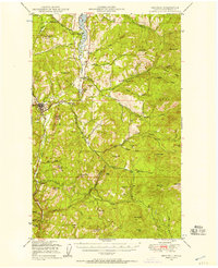
1936 · Marcus
USGS Topo · 1:96,000

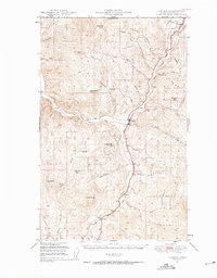
1942 · Marcus
USGS Topo · 1:125,000
1948 · Curlew
USGS Topo · 1:62,500
1948 · Republic
USGS Topo · 1:62,500
1948 · Sherman Peak
USGS Topo · 1:62,500