2023 Map of Marengo
USGS Topo · Published 2023About this map
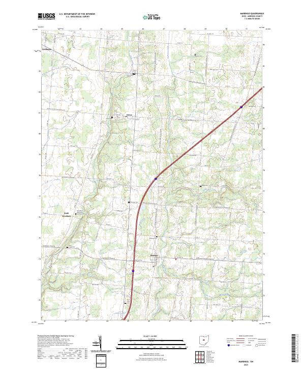
Marengo and South Woodbury anchor this southern Morrow County landscape, where the headwaters of the Scioto and Muskingum river systems begin their descent. The terrain is defined by the parallel courses of Alum Creek and Big Walnut Creek, with smaller tributaries like Bunker Run and Indigo Creek carving subtle drainage patterns through the agricultural uplands. This area preserves a high density of early burial sites, including the Woodbury Methodist Episcopal Cem and the Asbury Cem, which often serve as the primary markers for pioneer family settlements in this part of Ohio.
Find a feature on this map
77 named features on this map. Tap any name to fly to it.
Don’t see what you’re looking for? This feature index may not catch every label — zoom into the map to look around manually.
Map Details
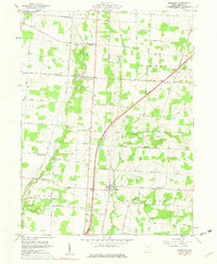
Editions of this 2023 Marengo Map
This is the sole edition of this map. No revisions or reprints were ever made.
Historical Maps of Lincoln Township Through Time
4 maps found


Featured Locations
- Harmony Township, OH
- Peru Township, OH
- Fulton, Lincoln Township
- Cardington, Cardington Township
- Marengo, Bennington Township