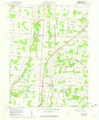
1961 Map of Marengo
USGS Topo · Published 1973About this map
The Greenville Treaty Line bisects this section of Morrow County, serving as a significant historical boundary between the United States Military District to the south and Congress Lands to the north. This mid-century landscape is defined by the headwaters of Alum Creek and Big Walnut Creek, where small rural hubs like Marengo and Fulton sit along the New York Central rail line. The map captures a transition in agricultural life, with numerous family and community landmarks such as Kenney Cem, Ebenezer Cem, and Marengo Cem providing vital links for genealogists. Local religious life is centered around rural congregations at Brookside Chapel, Harmony Ch, and Little Ruth Ch, while the inclusion of a Swimming Pool and Lutheran Camp near Fulton points to the area's development as a site for community recreation during the early 1960s.
Find a feature on this map
68 named features on this map. Tap any name to fly to it.
Don’t see what you’re looking for? This feature index may not catch every label — zoom into the map to look around manually.
Map Details
Editions of this 1961 Marengo Map
2 editions found
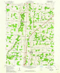
Other maps of this area

1913 · Mount Gilead
USGS Topo · 1:62,500

1915 · Shauck
USGS Topo · 1:62,500

1915 · Marengo
USGS Topo · 1:62,500

1915 · Fredericktown
USGS Topo · 1:62,500

1916 · Mount Gilead
USGS Topo · 1:62,500

1943 · Shauck
USGS Topo · 1:62,500

1943 · Marengo
USGS Topo · 1:62,500

1943 · Mount Gilead
USGS Topo · 1:62,500

1943 · Fredericktown
USGS Topo · 1:62,500

1950 · Marion
USGS Topo · 1:250,000