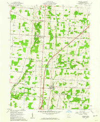
1961 Map of Marengo
USGS Topo · Published 1962About this map
Big Walnut Creek and Alum Creek wind through the agricultural landscape of Morrow County, where the village of Marengo sits as a central crossroads. The New York Central railroad corridor bisects the terrain, running north through the settlement of Fulton. This early 1960s survey documents a rural environment still heavily defined by local family-named roads like Mateer Road and Webb Road, and small community landmarks such as Brookside Chapel and Benedict Church.
Find a feature on this map
60 named features on this map. Tap any name to fly to it.
Don’t see what you’re looking for? This feature index may not catch every label — zoom into the map to look around manually.
Map Details
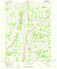
Editions of this 1961 Marengo Map
2 editions found
Other maps of this area

1913 · Mount Gilead
USGS Topo · 1:62,500

1915 · Shauck
USGS Topo · 1:62,500

1915 · Marengo
USGS Topo · 1:62,500

1915 · Fredericktown
USGS Topo · 1:62,500

1916 · Mount Gilead
USGS Topo · 1:62,500

1943 · Shauck
USGS Topo · 1:62,500

1943 · Marengo
USGS Topo · 1:62,500

1943 · Mount Gilead
USGS Topo · 1:62,500

1943 · Fredericktown
USGS Topo · 1:62,500

1950 · Marion
USGS Topo · 1:250,000