Old Maps of Lincoln Township, Ohio
Explore 29 old maps of Lincoln Township, spanning from 1913 to today. These high-resolution historic maps reveal how streets, neighborhoods, landmarks, and natural features evolved over time — perfect for genealogy, metal detecting, research, and local history exploration.
What you can do with these maps:
- See how Lincoln Township changed over time: Compare historical maps to modern-day views to trace roads, homesites, rail lines & more.
- View detailed metadata: Each map includes creators, publishers, year, scale, and archive source.
- Overlay maps with satellite & LiDAR: Visualize the past alongside modern tools to explore terrain & human change.
- Trusted historical sources: Maps sourced from the USGS, Library of Congress, and other archives.
- Access maps your way: View online, download high-res files, or order prints for personal or research use.
Start exploring old maps of Lincoln Township to uncover forgotten places, hidden landmarks, and the deep history beneath your feet.
Lincoln Township, OH maps
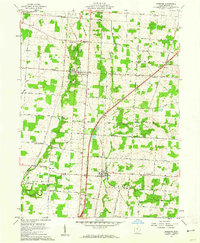
(29)- 1913 Map of Mount Gilead, 1960 Print
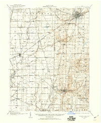 1913 Mount Gilead1960 Print · USGSNorth Central Ohio during the early rail era reveals a landscape densely packed with small-town life and rural school districts. Genealogists can trace family roots through dozens of local landmarks, from Hog Swamp School to the bustling rail junctions at Martel and Galion.
 - 1915 Map of Marengo, 1946 Print
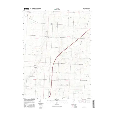
 1915 Marengo1946 Print · USGSMorrow and Delaware counties are shown in detail during the heyday of the steam railroad and the one-room schoolhouse. Genealogists and historians can locate vanished local landmarks like Swamp Angel School, the County Infirmary, and the Treaty Line.
 - 1916 Map of Mount Gilead, 1941 Print
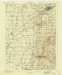 1916 Mount Gilead1941 Print · USGSMorrow and Crawford counties are shown here just before the First World War, when rail lines and rural schools defined the Ohio countryside. Genealogists can locate family-named sites like Miller Cem or schools such as Dice School and Hog Swamp School.
 - 1943 Map of Marengo
 1943 Marengo1943 Print · USGSCentral Ohio's agricultural heartland is documented here during the early war years, showing a landscape defined by small-town rail hubs and a dense network of rural schoolhouses. Researchers can trace family history through dozens of named sites like Chestnut Grove Sch, the County Infirmary, and settlements such as Westfield and Fulton.
 - 1943 Map of Mount Gilead
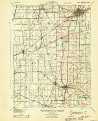 1943 Mount Gilead1943 Print · USGSIn the early 1940s, this pocket of north-central Ohio remained a landscape of rail-connected towns and country school districts. Researchers can trace the rural heritage of Galion and Mount Gilead while locating landmarks like Miller Cem and the Guiding Star Sch.
 - 1950 Map of Marion
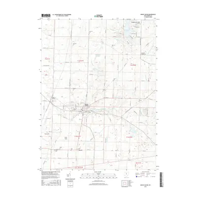
 1950 Marion1950 Print · USGSCentral Ohio was a powerhouse of rail and river industry at the mid-century point, serving as a vital corridor between the Great Lakes and the Ohio River valley. Genealogists and rail historians can trace the paths of the Erie RR and Nickel Plate Road through towns like Bucyrus, Galion, and Upper Sandusky.
 - 1961 Map of Mount Gilead, 1962 Print
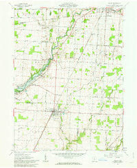
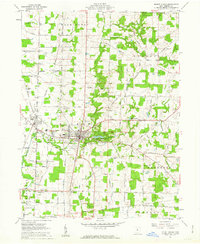 1961 Mount Gilead1962 Print · USGSMorrow County farmland surrounds the village of Mount Gilead in the early sixties, showing a landscape defined by traditional townships and the New York Central line. Researchers can locate numerous family cemeteries like Moffit Cem and landmarks such as the County Home and Fairground.3 unique versions available
 - 1961 Map of Marengo, 1962 Print
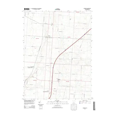
 1961 Marengo1962 Print · USGSMorrow County is captured in the early sixties as a patchwork of productive farmland and timbered creek bottoms. Researchers can trace the path of the New York Central railroad and locate family landmarks like Benedict Church and Marengo Cem.2 unique versions available
 - 1961 Map of Ashley, 1963 Print
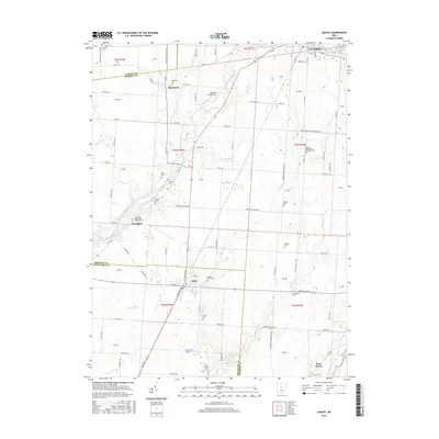
 1961 Ashley1963 Print · USGSThe village of Ashley and its surrounding farmsteads are documented here in the early sixties, highlighting a landscape shaped by historical treaty lines and rail travel. Researchers can trace family burial sites at Ashley Union Cem and Morehouse Cem or locate the old New York Central railroad corridor.2 unique versions available
 - 1962 Map of Marion
 1962 Marion1962 Print · USGSCentral Ohio during the post-war era showcases a dense network of railroad towns and emerging interstate highways. Genealogists can trace family roots in smaller settlements like Houcktown and Marseilles or locate landmarks near Indian Lake.
 - 1966 Map of Marion, 1968 Print
 1966 Marion1968 Print · USGSCentral Ohio in the mid-sixties is captured during a period of rapid highway expansion and industrial connectivity. Genealogists and historians can trace rail-and-river networks through towns like Marion, Urbana, and Mount Vernon, or locate landmarks such as Malabar Farm and Black Hand Rock.3 unique versions available
 - 1986 Map of Mansfield
 1986 Mansfield1986 Print · USGSNorth-central Ohio in the mid-eighties shows a landscape of industrial towns and large-scale water management projects. Researchers can trace historic sites like the Mansfield Reformatory, Malabar Farm State Park, and the racing grounds at Mid-Ohio Race Course.
 - 1994 Map of Mansfield
 1994 Mansfield1994 Print · USGSThe Mansfield and Ashland corridor of the 1990s reveals a landscape of industrial rail junctions and extensive state forests. You can trace the drainage of the Mohican River through reservoirs like Charles Mill Lake or locate sites such as Malabar Farm State Park.
 - 1995 Map of Ashley, 1999 Print
 1995 Ashley1999 Print · USGSCentral Ohio's rural borderlands between Delaware and Morrow Counties are captured here in the late twentieth century. Researchers can trace family history through numerous landmarks like Ashley Union Cem, St Johns Ch, and the Richardson Airport.
 - 2010 Map of Ashley, 2010 Print
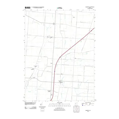
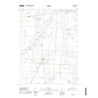
 2010 Ashley2010 Print · USGSCovers Lincoln Township, including Cardington, Westfield, and other nearby areas
 - 2010 Map of Marengo, 2010 Print
 2010 Marengo2010 Print · USGSCovers Lincoln Township, including Cardington, Marengo, and other nearby areas
 - 2010 Map of Mount Gilead, 2010 Print
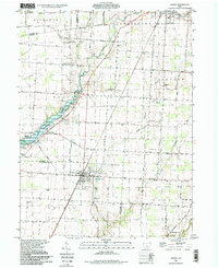
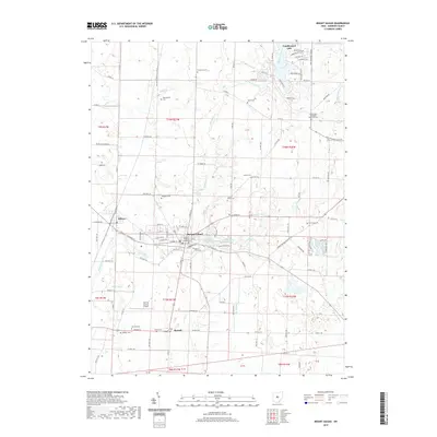
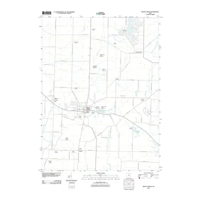 2010 Mount Gilead2010 Print · USGSCovers Lincoln Township, including Mount Gilead, Edison, and other nearby areas
 - 2013 Map of Ashley, 2013 Print
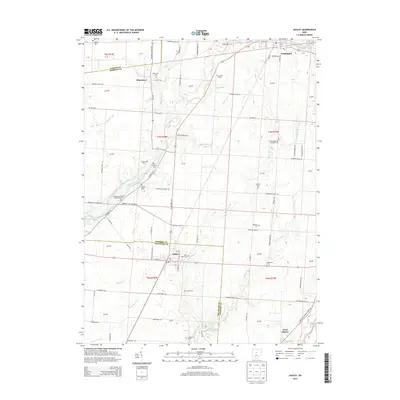 2013 Ashley2013 Print · USGSCovers Lincoln Township, including Cardington, Westfield, and other nearby areas
 - 2013 Map of Mount Gilead, 2013 Print
 2013 Mount Gilead2013 Print · USGSCovers Lincoln Township, including Mount Gilead, Edison, and other nearby areas
 - 2013 Map of Marengo, 2013 Print
 2013 Marengo2013 Print · USGSCovers Lincoln Township, including Cardington, Marengo, and other nearby areas
 - 2016 Map of Marengo, 2016 Print
 2016 Marengo2016 Print · USGSCovers Lincoln Township, including Cardington, Marengo, and other nearby areas
 - 2016 Map of Ashley, 2016 Print
 2016 Ashley2016 Print · USGSCovers Lincoln Township, including Cardington, Westfield, and other nearby areas
 - 2016 Map of Mount Gilead, 2016 Print
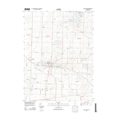
 2016 Mount Gilead2016 Print · USGSCovers Lincoln Township, including Mount Gilead, Edison, and other nearby areas
 - 2019 Map of Mount Gilead, 2019 Print
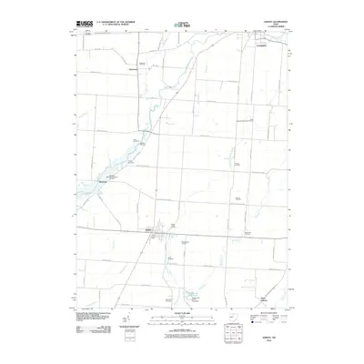
 2019 Mount Gilead2019 Print · USGSCovers Lincoln Township, including Mount Gilead, Edison, and other nearby areas
 - 2019 Map of Ashley, 2019 Print
 2019 Ashley2019 Print · USGSCovers Lincoln Township, including Cardington, Westfield, and other nearby areas
Showing maps 1-25 of 29
Top cities near Lincoln Township
- Delaware historical maps
- Berkshire historical maps
- Mount Gilead historical maps
- Sunbury historical maps
- Claridon historical maps
- Cardington historical maps
See more
Top neighborhoods of Lincoln Township
Frequently asked questions
- What are the different types of historical maps available for Lincoln Township?
- What is the oldest map of Lincoln Township?
- Where can I purchase historical maps of Lincoln Township for my home or office?
- Where can I download high-res historical maps of Lincoln Township?
- Are there historical topographic maps available for Lincoln Township?
- Is there historical aerial imagery available for Lincoln Township?
- Where are historical maps of Lincoln Township sourced from?