2000s (21st Century) Maps of Lincoln Township, Ohio
Explore 15 historic maps of Lincoln Township from the 2000s (21st Century). These maps offer a rare glimpse into what life looked like during the 2000s — showing old roads, neighborhoods, homes, and landmarks that have changed or disappeared over time.
Whether you're researching your family's past, planning a metal detecting trip, or studying how Lincoln Township's landscape evolved across the 2000s, these high-resolution maps are a powerful tool for exploring the history of this region.
- Focus on a specific era: All maps on this page are from the 2000s, giving you a focused view of this time period.
- See what’s changed: Compare century-old streets, trails, and buildings to today's modern landscape using overlays and satellite layers.
- Research with precision: Use these maps for genealogy, historical research, land use analysis, or educational projects.
- View, download, or print: Maps are fully viewable online in high resolution, and can be downloaded or printed for your own records.
Start exploring Lincoln Township's history through authentic maps from the 2000s. This is your window into the past.
Lincoln Township, OH maps
(15)- 2010 Map of Ashley, 2010 Print
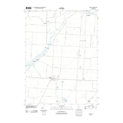 2010 Ashley2010 Print · USGSCovers Lincoln Township, including Cardington, Westfield, and other nearby areas
 - 2010 Map of Marengo, 2010 Print
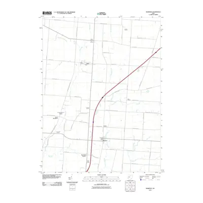 2010 Marengo2010 Print · USGSCovers Lincoln Township, including Cardington, Marengo, and other nearby areas
 - 2010 Map of Mount Gilead, 2010 Print
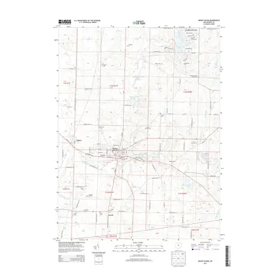
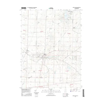
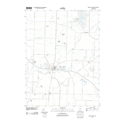 2010 Mount Gilead2010 Print · USGSCovers Lincoln Township, including Mount Gilead, Edison, and other nearby areas
 - 2013 Map of Ashley, 2013 Print
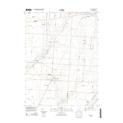 2013 Ashley2013 Print · USGSCovers Lincoln Township, including Cardington, Westfield, and other nearby areas
 - 2013 Map of Mount Gilead, 2013 Print
 2013 Mount Gilead2013 Print · USGSCovers Lincoln Township, including Mount Gilead, Edison, and other nearby areas
 - 2013 Map of Marengo, 2013 Print
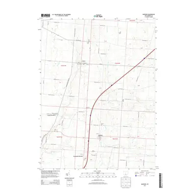 2013 Marengo2013 Print · USGSCovers Lincoln Township, including Cardington, Marengo, and other nearby areas
 - 2016 Map of Marengo, 2016 Print
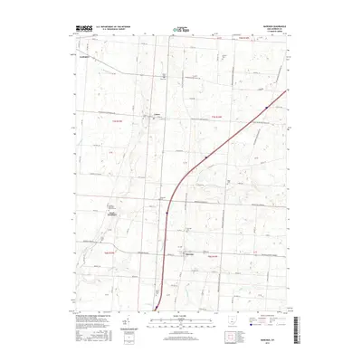 2016 Marengo2016 Print · USGSCovers Lincoln Township, including Cardington, Marengo, and other nearby areas
 - 2016 Map of Ashley, 2016 Print
 2016 Ashley2016 Print · USGSCovers Lincoln Township, including Cardington, Westfield, and other nearby areas
 - 2016 Map of Mount Gilead, 2016 Print
 2016 Mount Gilead2016 Print · USGSCovers Lincoln Township, including Mount Gilead, Edison, and other nearby areas
 - 2019 Map of Mount Gilead, 2019 Print
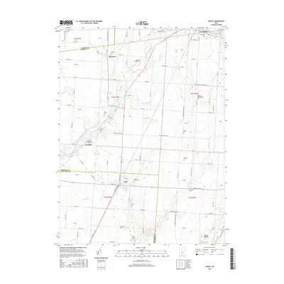
 2019 Mount Gilead2019 Print · USGSCovers Lincoln Township, including Mount Gilead, Edison, and other nearby areas
 - 2019 Map of Ashley, 2019 Print
 2019 Ashley2019 Print · USGSCovers Lincoln Township, including Cardington, Westfield, and other nearby areas
 - 2019 Map of Marengo, 2019 Print
 2019 Marengo2019 Print · USGSCovers Lincoln Township, including Cardington, Marengo, and other nearby areas
 - 2023 Map of Mount Gilead, 2023 Print
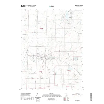
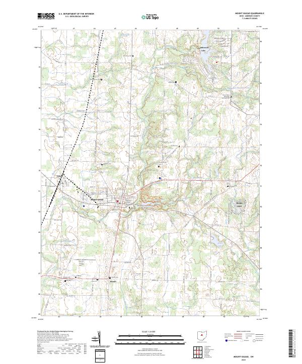 2023 Mount Gilead2023 Print · USGSMorrow County at the start of the 2020s shows a landscape of established lakeside communities and deep-rooted family history. Genealogists can trace lineage through numerous rural burial grounds like Bingham Cem and Bryn Zion Cem, while researchers can locate the Morrow County Courthouse and Morrow County Airport.
 - 2023 Map of Ashley, 2023 Print
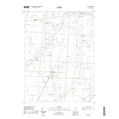
 2023 Ashley2023 Print · USGSThe agricultural borderlands of Delaware and Morrow Counties are captured here in the early twenty-first century. Genealogists and local historians can trace legacy landmarks across the townships, from the Ashley Union Cem to the Center Methodist Episcopal Ch and the historic Mounds Cem.
 - 2023 Map of Marengo, 2023 Print
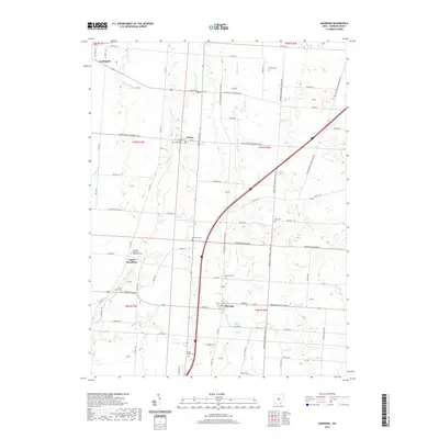
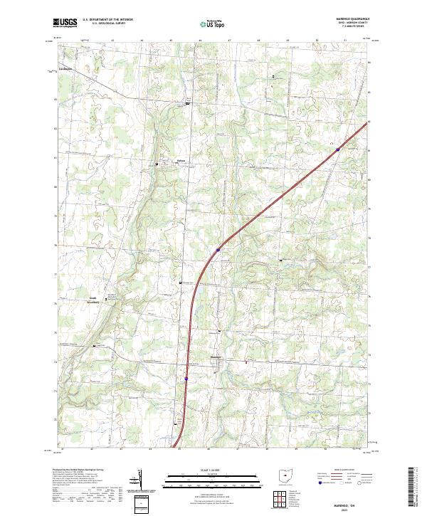 2023 Marengo2023 Print · USGSMorrow County's rural heartland is captured here in the early twenty-first century, showcasing a landscape defined by pioneer-era cemeteries and creek-side settlements. Genealogists can locate family burial grounds such as Asbury Cem, Ebenezer Cem, and the Woodbury Methodist Episcopal Cem.
End of results
Showing maps 1-15 of 15
Top cities near Lincoln Township
- Delaware historical maps
- Berkshire historical maps
- Mount Gilead historical maps
- Sunbury historical maps
- Claridon historical maps
- Cardington historical maps
See more
Top neighborhoods of Lincoln Township
Frequently asked questions
- What are the different types of historical maps available for Lincoln Township?
- What is the oldest map of Lincoln Township?
- Where can I purchase historical maps of Lincoln Township for my home or office?
- Where can I download high-res historical maps of Lincoln Township?
- Are there historical topographic maps available for Lincoln Township?
- Is there historical aerial imagery available for Lincoln Township?
- Where are historical maps of Lincoln Township sourced from?