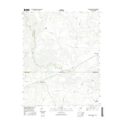
2016 Map of Margarettsville
USGS Topo · Published 2016About this map
The Meherrin River meanders across the border of Virginia and North Carolina, anchoring a landscape defined by expansive wetlands and dispersed rural settlements. This 2016 survey captures the area as it straddles the line between Southampton County, Virginia, and Northampton County, North Carolina. Major focal points include the town of Branchville and the crossroads at Margarettsville, connected by a network of local roads such as Whitehead Rd and Severn Rd.
Find a feature on this map
43 named features on this map. Tap any name to fly to it.
Don’t see what you’re looking for? This feature index may not catch every label — zoom into the map to look around manually.
Map Details
Editions of this 2016 Margarettsville Map
This is the sole edition of this map. No revisions or reprints were ever made.
Other maps of this area

1919 · Boykins
USGS Topo · 1:48,000

1919 · Arringdale
USGS Topo · 1:48,000

1920 · Boykins
USGS Topo · 1:62,500

1920 · Arringdale
USGS Topo · 1:62,500

1942 · Arringdale
USGS Topo · 1:62,500

1953 · Norfolk
USGS Topo · 1:250,000
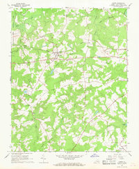
1966 · Capron
USGS Topo · 1:24,000
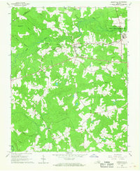
1966 · Drewryville
USGS Topo · 1:24,000

1966 · Margarettsville
USGS Topo · 1:24,000
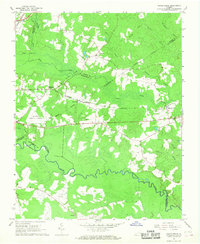
1966 · Adams Grove
USGS Topo · 1:24,000