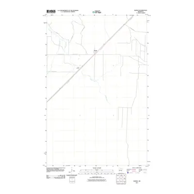
2010 Map of Margie
USGS Topo · Published 2010About this map
Margie serves as the central focal point of this Northwoods landscape, situated along the diagonal path of Blue Ox Trl and U.S. Route 71. The surrounding terrain is defined by a network of drainage and timber access, with Dinner Creek and Hay Creek winding through the low-lying areas. The presence of the Margie Cemetery southwest of the settlement provides a primary point of interest for genealogical research in this sparsely populated portion of Koochiching County.
Find a feature on this map
12 named features on this map. Tap any name to fly to it.
Don’t see what you’re looking for? This feature index may not catch every label — zoom into the map to look around manually.
Map Details
Editions of this 2010 Margie Map
This is the sole edition of this map. No revisions or reprints were ever made.
Other maps of this area

1918 · Zora
USGS Topo · 1:62,500

1919 · Zora
USGS Topo · 1:62,500

1919 · Lundgren
USGS Topo · 1:62,500

1919 · Gemmell
USGS Topo · 1:62,500

1919 · Margie
USGS Topo · 1:62,500

1954 · Bemidji
USGS Topo · 1:250,000

1954 · Hibbing
USGS Topo · 1:250,000

1954 · Roseau
USGS Topo · 1:250,000

1954 · International Falls
USGS Topo · 1:250,000

1957 · Roseau
USGS Topo · 1:250,000