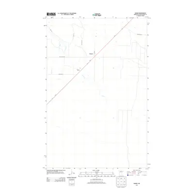
2013 Map of Margie
USGS Topo · Published 2013About this map
The settlement of Margie sits at the intersection of Us-71 and Deer Ave, serving as a central point in this northern Minnesota landscape. This 2013 survey illustrates a region defined by its forestry infrastructure and watercourses, notably Dinner Cr and Hay Cr. For those researching local history or genealogy, the Margie Cem is clearly identified along the highway south of the town center. The network of named routes, such as Pete Moe Forest Rd, Crow Forest Rd, and Wolf Trl, highlights the area's ongoing relationship with the surrounding timberlands and rural access. The map provides a clear view of the sparse but deliberate settlement patterns in Koochiching County during the early 21st century.
Find a feature on this map
12 named features on this map. Tap any name to fly to it.
Don’t see what you’re looking for? This feature index may not catch every label — zoom into the map to look around manually.
Map Details
Editions of this 2013 Margie Map
This is the sole edition of this map. No revisions or reprints were ever made.
Other maps of this area

1918 · Zora
USGS Topo · 1:62,500

1919 · Zora
USGS Topo · 1:62,500

1919 · Lundgren
USGS Topo · 1:62,500

1919 · Gemmell
USGS Topo · 1:62,500

1919 · Margie
USGS Topo · 1:62,500

1954 · Bemidji
USGS Topo · 1:250,000

1954 · Hibbing
USGS Topo · 1:250,000

1954 · Roseau
USGS Topo · 1:250,000

1954 · International Falls
USGS Topo · 1:250,000

1957 · Roseau
USGS Topo · 1:250,000