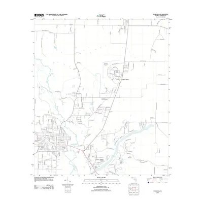
2012 Map of Marianna
USGS Topo · Published 2012About this map
The Chipola River snakes through this Jackson County landscape, anchoring a region defined by its significant freshwater springs and mid-century educational expansion. Located in the Florida Panhandle, this area highlights the development of Chipola Terrace and Mallory Heights alongside the established grounds of Chipola Junior College. The presence of Marianna Municipal Airport and a dense network of local roads like Bellamy Bridge Rd indicate a hub of regional transit and commerce.
Find a feature on this map
195 named features on this map. Tap any name to fly to it.
Don’t see what you’re looking for? This feature index may not catch every label — zoom into the map to look around manually.
Map Details
Editions of this 2012 Marianna Map
This is the sole edition of this map. No revisions or reprints were ever made.
Other maps of this area

1952 · Cypress
USGS Topo · 1:24,000

1952 · Oakdale
USGS Topo · 1:24,000

1952 · Kynesville
USGS Topo · 1:24,000

1952 · Dellwood
USGS Topo · 1:24,000

1952 · Cottondale East
USGS Topo · 1:24,000

1952 · Malone
USGS Topo · 1:24,000

1952 · Bascom
USGS Topo · 1:24,000

1952 · Sills
USGS Topo · 1:24,000

1952 · Marianna
USGS Topo · 1:24,000

1954 · Tallahassee
USGS Topo · 1:250,000