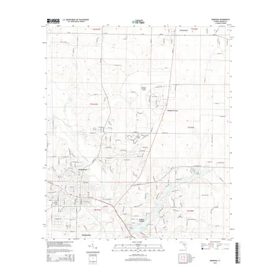
2015 Map of Marianna
USGS Topo · Published 2015About this map
The Chipola River snakes through this portion of Jackson County, anchoring a landscape defined by significant karst features and springs. The city of Marianna serves as the central hub, home to Chipola Coll and several historic burial sites such as Riverside Cem and Orange Hill Cem. The geography here is marked by a high concentration of water sources, including the expansive Merritts Mill Pond and notable local landmarks like Blue Hole Spring and Baltzell Spring.
Find a feature on this map
60 named features on this map. Tap any name to fly to it.
Don’t see what you’re looking for? This feature index may not catch every label — zoom into the map to look around manually.
Map Details
Editions of this 2015 Marianna Map
This is the sole edition of this map. No revisions or reprints were ever made.
Other maps of this area

1952 · Cypress
USGS Topo · 1:24,000

1952 · Oakdale
USGS Topo · 1:24,000

1952 · Kynesville
USGS Topo · 1:24,000

1952 · Dellwood
USGS Topo · 1:24,000

1952 · Cottondale East
USGS Topo · 1:24,000

1952 · Malone
USGS Topo · 1:24,000

1952 · Bascom
USGS Topo · 1:24,000

1952 · Sills
USGS Topo · 1:24,000

1952 · Marianna
USGS Topo · 1:24,000

1954 · Tallahassee
USGS Topo · 1:250,000