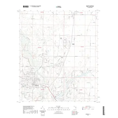
2021 Map of Marianna
USGS Topo · Published 2021About this map
The Chipola River anchors this detailed survey of the central Florida Panhandle, flowing past the historic seat of Jackson County. In Marianna, the grid of the city center is marked by the Jackson County Courthouse, while the campus of Chipola College occupies the northern edge of the settlement. The landscape is characterized by a series of significant springs and recreational corridors, including Baltzell Spring and the Blue Hole Spring near the Florida Caverns State Park Trl. Local heritage is well-preserved through numerous family and community burial grounds such as Orange Hill Cem, Dyke Cem, and Roulhac Cem. To the north, the small community of Greenwood marks the transition into the surrounding agricultural and timber lands, connected to the county seat by the Old US Rd.
Find a feature on this map
173 named features on this map. Tap any name to fly to it.
Don’t see what you’re looking for? This feature index may not catch every label — zoom into the map to look around manually.
Map Details
Editions of this 2021 Marianna Map
This is the sole edition of this map. No revisions or reprints were ever made.
Other maps of this area

1952 · Cypress
USGS Topo · 1:24,000

1952 · Oakdale
USGS Topo · 1:24,000

1952 · Kynesville
USGS Topo · 1:24,000

1952 · Dellwood
USGS Topo · 1:24,000

1952 · Cottondale East
USGS Topo · 1:24,000

1952 · Malone
USGS Topo · 1:24,000

1952 · Bascom
USGS Topo · 1:24,000

1952 · Sills
USGS Topo · 1:24,000

1952 · Marianna
USGS Topo · 1:24,000

1954 · Tallahassee
USGS Topo · 1:250,000