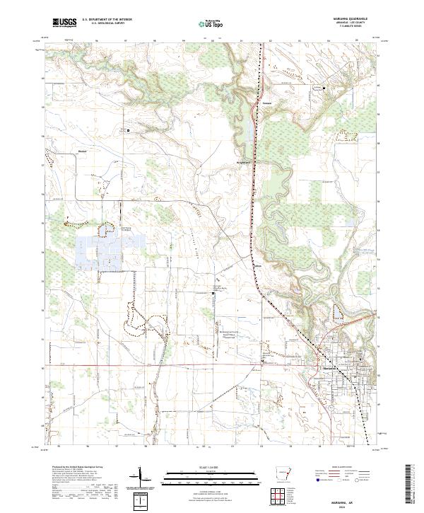
2024 Map of Marianna
USGS Topo · Published 2024About this map
The Lee County Courthouse serves as the focal point of Marianna, where the street grid transitions into the winding bottomlands of the L'Anguille River. This Delta landscape is defined by the sharp contrast between the alluvial plains and the prominent rise of Crowleys Ridge, a unique geological formation that separates the western agricultural flats from the river basin. Smaller settlements like Felton, Wrightland, and Canaan dot the secondary roads, marking long-standing agricultural nodes in the county.
Find a feature on this map
85 named features on this map. Tap any name to fly to it.
Don’t see what you’re looking for? This feature index may not catch every label — zoom into the map to look around manually.
Map Details
Editions of this 2024 Marianna Map
This is the sole edition of this map. No revisions or reprints were ever made.
Other maps of this area

1939 · Park Place
USGS Topo · 1:62,500

1939 · Latour
USGS Topo · 1:62,500

1940 · Marvell
USGS Topo · 1:62,500

1940 · Marianna
USGS Topo · 1:62,500

1948 · Helena
USGS Topo · 1:250,000

1950 · Helena
USGS Topo · 1:250,000

1955 · Park Place
USGS Topo · 1:62,500

1955 · Latour
USGS Topo · 1:62,500

1955 · Helena
USGS Topo · 1:250,000

1956 · Marvell
USGS Topo · 1:62,500