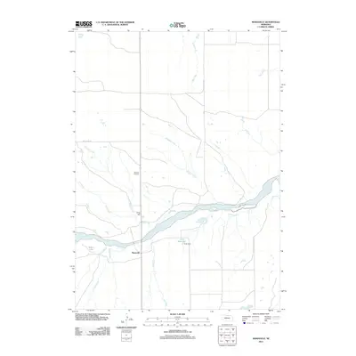
2011 Map of Mariaville
USGS Topo · Published 2011About this map
Mariaville stands at a key junction of land and water in north-central Nebraska, where local roads meet near the banks of the Niobrara River. This 2011 survey reveals a landscape deeply defined by its drainage network, with numerous waterways like Ash Creek, Oak Creek, and Willow Creek feeding into the main river valley. The presence of Cook Reservoir and the associated Cook Dam indicates local water management efforts, while Turpin Lake provides a natural contrast in the river's floodplain.
Find a feature on this map
15 named features on this map. Tap any name to fly to it.
Don’t see what you’re looking for? This feature index may not catch every label — zoom into the map to look around manually.
Map Details
Editions of this 2011 Mariaville Map
This is the sole edition of this map. No revisions or reprints were ever made.
Other maps of this area

1949 · Jamison SW
USGS Topo · 1:24,000

1949 · Carns
USGS Topo · 1:24,000

1950 · Carns
USGS Topo · 1:24,000

1950 · Mariaville
USGS Topo · 1:24,000

1951 · Jamison SW
USGS Topo · 1:24,000

1951 · Naper SW
USGS Topo · 1:24,000

1954 · Stuart NW
USGS Topo · 1:24,000

1954 · Newport NE
USGS Topo · 1:24,000

1955 · O'Neill
USGS Topo · 1:250,000

1959 · O'Neill
USGS Topo · 1:250,000