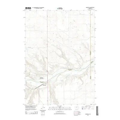
2014 Map of Mariaville
USGS Topo · Published 2014About this map
The Niobrara River valley defines this section of northern Nebraska, where the Niobrara National Scenic River corridor cuts through the high plains. The settlement of Mariaville sits along Ne-137, positioned near the confluence of several vital water sources including Oak Cr and Ash Cr. This area is characterized by a network of creeks and drainages that feed the main river system, such as Simpson Cr and Haughin Cr, which carve through the terrain surrounding King Hill. Local heritage is preserved at the Simpson Cem, located just off the highway north of the river. The map also records water management and natural features like Turpin Lake and Cook Reservoir, illustrating the essential relationship between the sparse prairie settlements and the region's limited but critical water resources in the early 21st century.
Find a feature on this map
25 named features on this map. Tap any name to fly to it.
Don’t see what you’re looking for? This feature index may not catch every label — zoom into the map to look around manually.
Map Details
Editions of this 2014 Mariaville Map
This is the sole edition of this map. No revisions or reprints were ever made.
Other maps of this area

1949 · Jamison SW
USGS Topo · 1:24,000

1949 · Carns
USGS Topo · 1:24,000

1950 · Carns
USGS Topo · 1:24,000

1950 · Mariaville
USGS Topo · 1:24,000

1951 · Jamison SW
USGS Topo · 1:24,000

1951 · Naper SW
USGS Topo · 1:24,000

1954 · Stuart NW
USGS Topo · 1:24,000

1954 · Newport NE
USGS Topo · 1:24,000

1955 · O'Neill
USGS Topo · 1:250,000

1959 · O'Neill
USGS Topo · 1:250,000