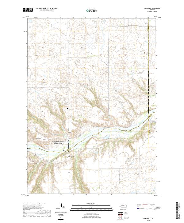
2021 Map of Mariaville
USGS Topo · Published 2021About this map
Mariaville sits at the convergence of rugged drainage systems in this northern Nebraska landscape, where the Niobrara River carves a deep valley across the southern portion of the map. This area is defined by its designation as the Niobrara National Scenic River and the Niobrara Wild and Scenic River, protecting a network of feeder streams such as Haughin Cr, Simpson Cr, and Willow Cr.
Find a feature on this map
32 named features on this map. Tap any name to fly to it.
Don’t see what you’re looking for? This feature index may not catch every label — zoom into the map to look around manually.
Map Details
Editions of this 2021 Mariaville Map
This is the sole edition of this map. No revisions or reprints were ever made.
Other maps of this area

1949 · Jamison SW
USGS Topo · 1:24,000

1949 · Carns
USGS Topo · 1:24,000

1950 · Carns
USGS Topo · 1:24,000

1950 · Mariaville
USGS Topo · 1:24,000

1951 · Jamison SW
USGS Topo · 1:24,000

1951 · Naper SW
USGS Topo · 1:24,000

1954 · Stuart NW
USGS Topo · 1:24,000

1954 · Newport NE
USGS Topo · 1:24,000

1955 · O'Neill
USGS Topo · 1:250,000

1959 · O'Neill
USGS Topo · 1:250,000