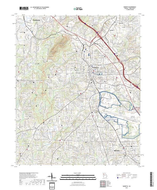
2024 Map of Marietta
USGS Topo · Published 2024About this map
Kennesaw Mountain National Battlefield Park dominates the northwest quadrant of this modern-day survey, preserving the wooded ridges of Kennesaw Mtn and Little Kennesaw Mtn. The landscape is a dense mixture of military heritage and rapid urbanization, where historical points like the Marietta Confederate Cem and Cheatham Hill are surrounded by the expanding street grids of Marietta and Smyrna. The map illustrates the significant federal footprint in Cobb County, showing the interconnected grounds of Dobbins ARB, the NG General Lucius D Clay National Guard Center, and Air Force Plant 6. Numerous small family and church burial grounds, such as Greer Cem and Shady Grove Baptist Church Cem, remain as quiet indicators of the area's rural ancestry amid contemporary residential developments and major transit corridors like the CSX Transportation line.
Find a feature on this map
95 named features on this map. Tap any name to fly to it.
Don’t see what you’re looking for? This feature index may not catch every label — zoom into the map to look around manually.
Map Details
Editions of this 2024 Marietta Map
This is the sole edition of this map. No revisions or reprints were ever made.
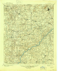
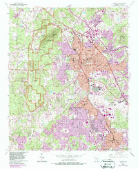
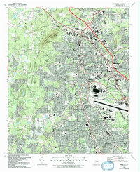
Historical Maps of Cobb County Through Time
7 maps found