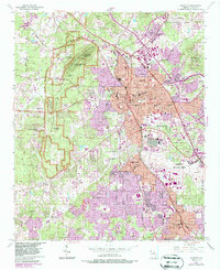
1954 Map of Marietta
USGS Topo · Published 1987About this map
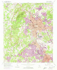
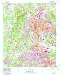
Kennesaw Mountain National Battlefield Park dominates the western landscape of this survey, preserving the civil war terrain of Kennesaw Mountain, Little Kennesaw Mountain, and Cheatham Hill. The city of Marietta serves as the central hub, showing its dense mid-century street grid, the Courthouse, and the historic Confederate Cem. To the southeast, the massive footprint of Dobbins Air Force Base and the Atlanta Naval Air Station illustrate the significant military presence in Cobb County during the Cold War era. Transport networks like the Seaboard Coast Line and Louisville and Nashville railroads intersect the growing suburbs of Smyrna, Elizabeth, and Westoak. This 1983 revision tracks the intensifying suburbanization around Fair Oaks, where new residential developments began to fill the spaces between established landmarks like Blackjack Mountain and Noses Creek.
Find a feature on this map
77 named features on this map. Tap any name to fly to it.
Don’t see what you’re looking for? This feature index may not catch every label — zoom into the map to look around manually.
Map Details
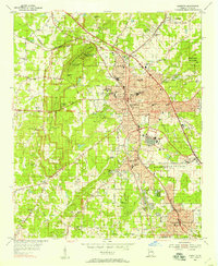
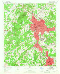
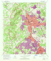
Editions of this 1954 Marietta Map
6 editions found
Other maps of this area

1888 · Atlanta
USGS Topo · 1:125,000

1890 · Suwanee
USGS Topo · 1:125,000

1890 · Cartersville
USGS Topo · 1:125,000

1890 · Atlanta
USGS Topo · 1:125,000

1891 · Marietta
USGS Topo · 1:125,000

1891 · Cartersville
USGS Topo · 1:125,000

1892 · Atlanta
USGS Topo · 1:125,000

1894 · Suwanee
USGS Topo · 1:125,000

1895 · Atlanta
USGS Topo · 1:125,000

1895 · Marietta
USGS Topo · 1:125,000