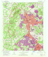
1954 Map of Marietta
USGS Topo · Published 1970About this map
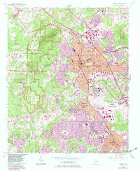
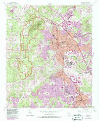
Kennesaw Mountain National Battlefield Park dominates the western portion of this 1954 Georgia study, preserving the terrain of Kennesaw Mountain, Little Kennesaw Mountain, and Cheatham Hill. The city of Marietta serves as the central hub, with its street grid radiating from the Courthouse and City Hall. Significant 1968 urban expansion, indicated by purple tint, reveals the rapid growth of residential areas and the footprint of Dobbins Air Force Base in the southeast.
Find a feature on this map
77 named features on this map. Tap any name to fly to it.
Don’t see what you’re looking for? This feature index may not catch every label — zoom into the map to look around manually.
Map Details
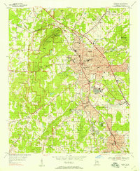
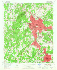
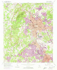
Editions of this 1954 Marietta Map
6 editions found
Other maps of this area

1888 · Atlanta
USGS Topo · 1:125,000

1890 · Suwanee
USGS Topo · 1:125,000

1890 · Cartersville
USGS Topo · 1:125,000

1890 · Atlanta
USGS Topo · 1:125,000

1891 · Marietta
USGS Topo · 1:125,000

1891 · Cartersville
USGS Topo · 1:125,000

1892 · Atlanta
USGS Topo · 1:125,000

1894 · Suwanee
USGS Topo · 1:125,000

1895 · Atlanta
USGS Topo · 1:125,000

1895 · Marietta
USGS Topo · 1:125,000