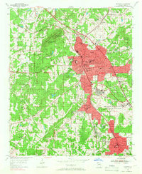
1954 Map of Marietta
USGS Topo · Published 1966About this map
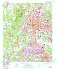
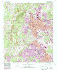
Kennesaw Mountain National Battlefield Park dominates the western landscape of this 1950s survey, preserving the grounds of Big Kennesaw Mountain, Little Kennesaw Mountain, and Cheatham Hill. The city of Marietta is shown at a point of significant post-war transition, where historic features like the Confederate Cem and City Cemetery sit near newer developments such as Kennestone Hospital and Sprayberry High Sch. The intersection of the Louisville and Nashville Railroad and the Nashville Chattanooga and St Louis Railroad highlights the area's role as a transportation hub.
Find a feature on this map
63 named features on this map. Tap any name to fly to it.
Don’t see what you’re looking for? This feature index may not catch every label — zoom into the map to look around manually.
Map Details
Editions of this 1954 Marietta Map
6 editions found
Other maps of this area

1888 · Atlanta
USGS Topo · 1:125,000

1890 · Suwanee
USGS Topo · 1:125,000

1890 · Cartersville
USGS Topo · 1:125,000

1890 · Atlanta
USGS Topo · 1:125,000

1891 · Marietta
USGS Topo · 1:125,000

1891 · Cartersville
USGS Topo · 1:125,000

1892 · Atlanta
USGS Topo · 1:125,000

1894 · Suwanee
USGS Topo · 1:125,000

1895 · Atlanta
USGS Topo · 1:125,000

1895 · Marietta
USGS Topo · 1:125,000