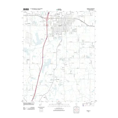
2012 Map of Marion
USGS Topo · Published 2012About this map
Marion's urban grid and expanding residential footprint are the focal point of this 2012 survey, showing a landscape defined by significant water resources and historical burial grounds. The city is flanked by substantial bodies of water including Crab Orchard Lake to the west and the Marion Reservoir further south, while smaller features like Saluki Lake and Teal Lake dot the surrounding terrain. This era of development is marked by a clear intersection of modern infrastructure and long-established community landmarks, notably the concentration of large cemeteries such as the Independent Order of Oddfellows Cem, Maplewood Cem, and Rose Hill Cem on the northern edge of town. Beyond the main settlement, rural life persists in outlying areas like Hudgens and Neilson, where the land is drained by the S Fork Saline River and its various tributaries such as Limb Br and Little Saline Cr.
Find a feature on this map
105 named features on this map. Tap any name to fly to it.
Don’t see what you’re looking for? This feature index may not catch every label — zoom into the map to look around manually.
Map Details
Editions of this 2012 Marion Map
This is the sole edition of this map. No revisions or reprints were ever made.
Other maps of this area

1909 · West Frankfort
USGS Topo · 1:62,500

1910 · Herrin
USGS Topo · 1:62,500

1922 · Carbondale
USGS Topo · 1:62,500

1925 · Marion
USGS Topo · 1:62,500

1936 · Herrin
USGS Topo · 1:62,500

1940 · Marion
USGS Topo · 1:62,500

1941 · Carbondale
USGS Topo · 1:62,500

1941 · West Frankfort
USGS Topo · 1:62,500

1949 · Paducah
USGS Topo · 1:250,000

1950 · Paducah
USGS Topo · 1:250,000