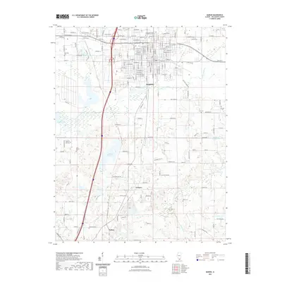
2021 Map of Marion
USGS Topo · Published 2021About this map
Marion serves as the central hub of this Williamson County landscape, where an extensive street grid meets significant water infrastructure and historical burial grounds. The southern reaches of the city give way to a network of water bodies, including the large Marion Reservoir and Teal Lake, which define the drainage patterns toward the S Fork Saline River. Smaller settlements like Hudgens and Neilson sit further south, connected by winding rural routes that contrast with the organized blocks of the city center.
Find a feature on this map
143 named features on this map. Tap any name to fly to it.
Don’t see what you’re looking for? This feature index may not catch every label — zoom into the map to look around manually.
Map Details
Editions of this 2021 Marion Map
This is the sole edition of this map. No revisions or reprints were ever made.
Other maps of this area

1909 · West Frankfort
USGS Topo · 1:62,500

1910 · Herrin
USGS Topo · 1:62,500

1922 · Carbondale
USGS Topo · 1:62,500

1925 · Marion
USGS Topo · 1:62,500

1936 · Herrin
USGS Topo · 1:62,500

1940 · Marion
USGS Topo · 1:62,500

1941 · Carbondale
USGS Topo · 1:62,500

1941 · West Frankfort
USGS Topo · 1:62,500

1949 · Paducah
USGS Topo · 1:250,000

1950 · Paducah
USGS Topo · 1:250,000