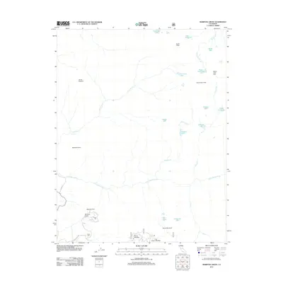
2012 Map of Mariposa Grove
USGS Topo · Published 2012About this map
Mariposa Grove serves as the focal point of this high-altitude landscape, where the iconic Grizzly Giant and the Tunnel Tree stand as significant botanical landmarks. The terrain is defined by dramatic elevation changes, rising toward Buena Vista Peak and Mount Raymond, which dominate the eastern and southern horizons. This 2012 survey illustrates a complex network of alpine water systems, with the S Fork Merced River and Chilnualna Cr carving through the granite geography, the latter feeding the spectacular Chilnualna Fall.
Find a feature on this map
34 named features on this map. Tap any name to fly to it.
Don’t see what you’re looking for? This feature index may not catch every label — zoom into the map to look around manually.
Map Details
Editions of this 2012 Mariposa Grove Map
This is the sole edition of this map. No revisions or reprints were ever made.
Other maps of this area

1897 · Yosemite
USGS Topo · 1:125,000

1900 · Yosemite
USGS Topo · 1:125,000

1901 · Mt. Lyell
USGS Topo · 1:125,000

1903 · Yosemite
USGS Topo · 1:125,000

1904 · Kaiser
USGS Topo · 1:125,000

1909 · Yosemite
USGS Topo · 1:125,000

1912 · Mariposa
USGS Topo · 1:125,000

1947 · Mariposa
USGS Topo · 1:250,000

1948 · Mariposa
USGS Topo · 1:250,000

1953 · Merced Peak
USGS Topo · 1:62,500